Loading...
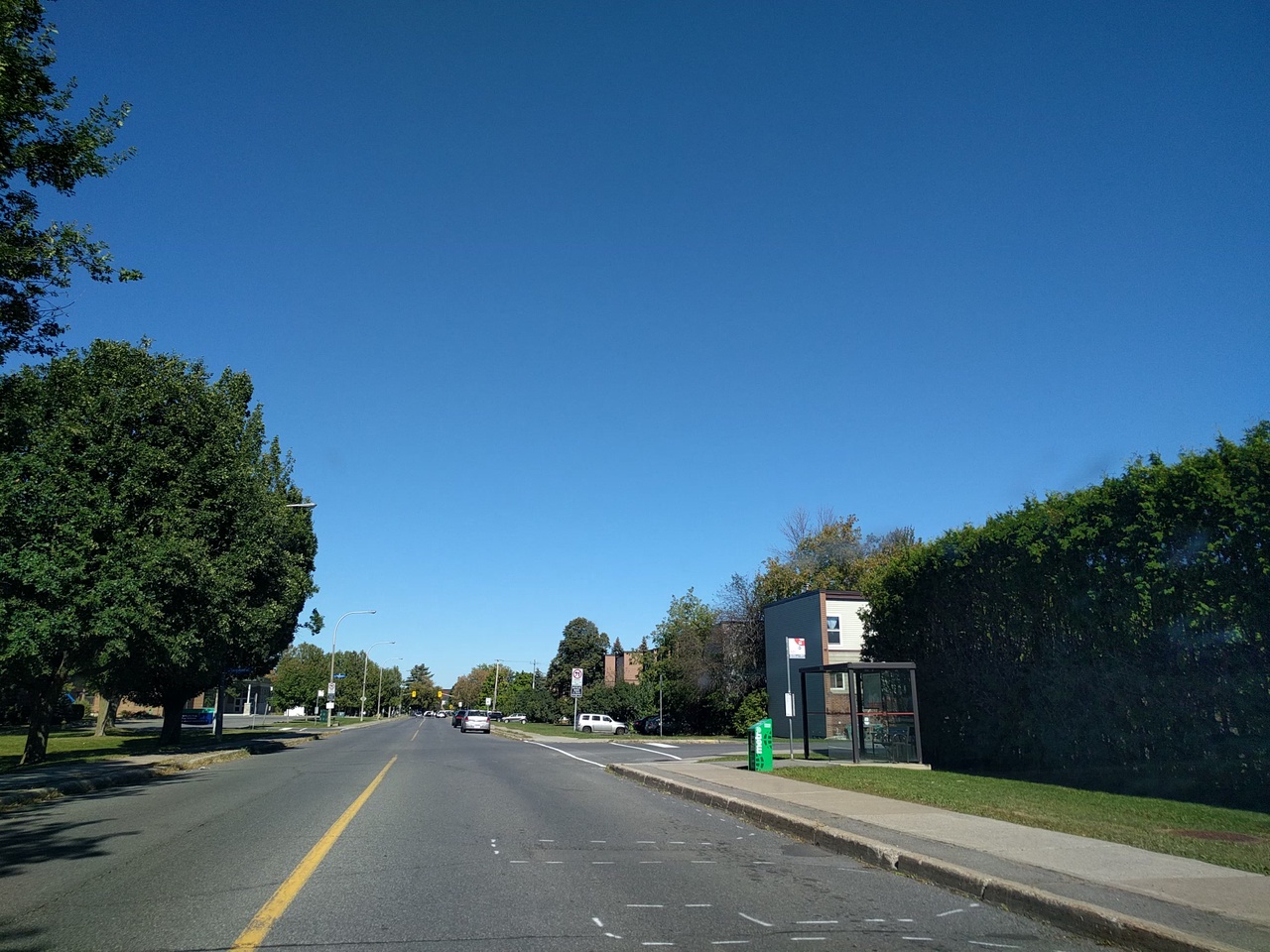
Node: Old Richmond / Longwood (4406149196)
Version #5
validator fixes, tracing
- Edited by andrewpmk
- Changeset #114424333
- Location: 45.3190540, -75.8267360
Tags
| bench | yes |
|---|---|
| bus | yes |
| highway | bus_stop |
| image | https://storage6.openstreetcam.org/files/photo/2017/10/1/lth/929779_be74d_49.jpg |
| name | Old Richmond / Longwood |
| network | OC Transpo |
| network:wikidata | Q3347525 |
| network:wikipedia | en:OC Transpo |
| operator | OC Transpo |
| public_transport | platform |
| ref | 0921 |
| shelter | yes |
| source | City of Ottawa |
| source:ref | OC Transpo |
| source:stop_id | gtfs |
| stop_id | WF210 |
| survey:date | 2017-10-01 |
Part of
5 relations
- Relation Bus 88: Bells Corners → Hurdman (10068245) (as platform)
- Relation Bus 251: Bells Corners→ Tunney's Pasture (10174674) (as platform)
- Relation Bus 88: Bells Corners → Navaho → Hurdman (10138392) (as platform)
- Relation Bus 88: Terry Fox → Moodie → Hurdman (10138395) (as platform)
- Relation Bus 57: Bells Corners → Tunney's Pasture (10094888) (as platform)
Welcome to OpenStreetMap!
OpenStreetMap is a map of the world, created by people like you and free to use under an open license.
Hosting is supported by Fastly, OSMF corporate members, and other partners.
| https://openstreetmap.org/copyright | https://openstreetmap.org |
| Copyright OpenStreetMap and contributors, under an open license | |