Loading...
Node: Rorainópolis (415524035)
Version #28
Atualização de população e classificação (place) dos municípios de RR
- Edited by Fidelis Assis
- Changeset #140759846
- Location: 0.9387308, -60.4236464
Tags
| IBGE:GEOCODIGO | 140047205 |
|---|---|
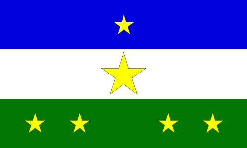
| flag | http://upload.wikimedia.org/wikipedia/commons/thumb/b/b8/Bandeira_Rorainopolis.svg/500px-Bandeira_Rorainopolis.svg.png |
| name | Rorainópolis |
| name:bg | Рорайнополис |
| name:kk | Рорайнополис |
| name:lt | Rorainopolis |
| name:pt | Rorainópolis |
| name:ru | Рорайнополис |
| place | town |
| population | 32647 |
| population:date | 2023-08-31 |
| source | IBGE |
| source:population | IBGE, DOU de 31/08/2023 |
| wikidata | Q1646932 |
| wikipedia | pt:Rorainópolis |
Part of
2 relations
- Relation Rorainópolis (326292) (as admin_centre)
- Relation Rorainópolis (7567161) (as admin_centre)
Welcome to OpenStreetMap!
OpenStreetMap is a map of the world, created by people like you and free to use under an open license.
Hosting is supported by Fastly, OSMF corporate members, and other partners.
| https://openstreetmap.org/copyright | https://openstreetmap.org |
| Copyright OpenStreetMap and contributors, under an open license | |