Loading...
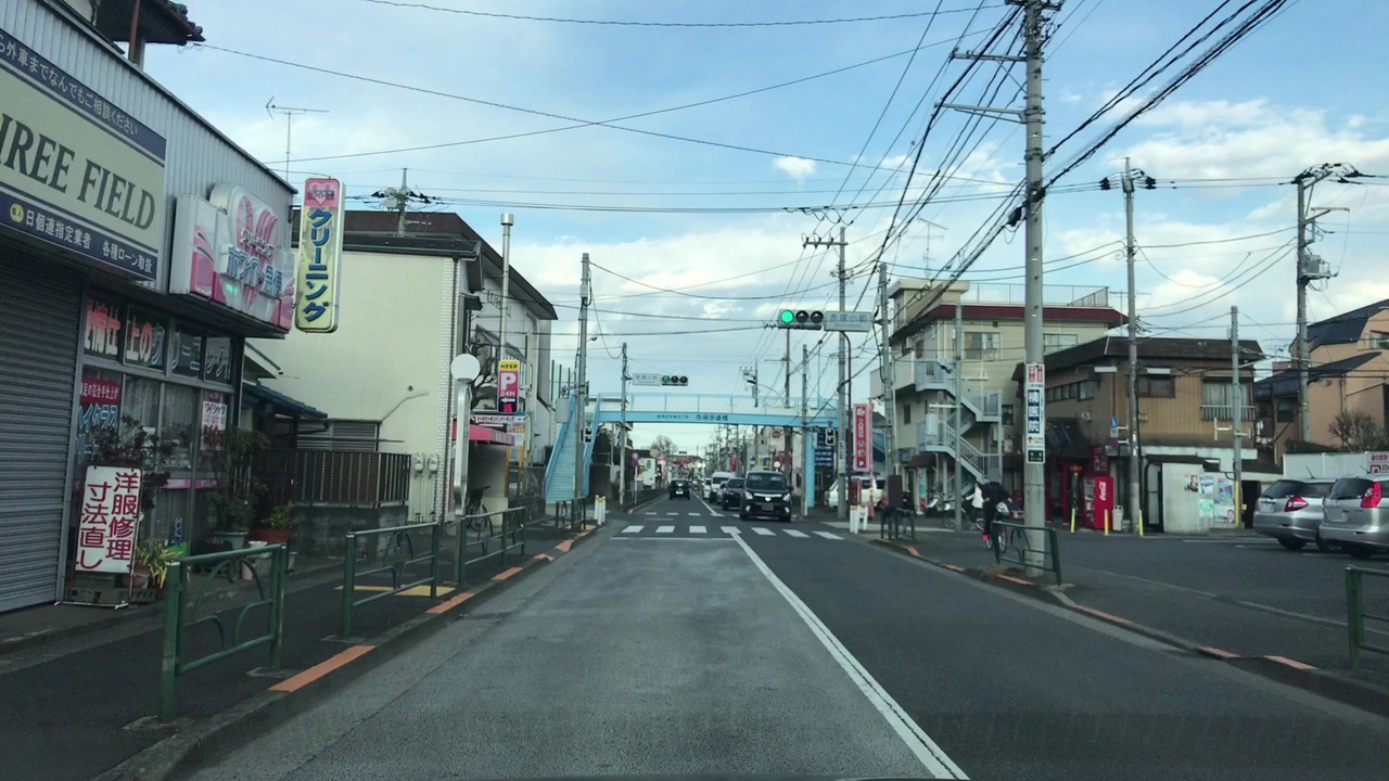
Node: 赤塚小学校 (2194453295)
Version #8
Bus stop type (Tokyo, Tokyo, Japan)
- Edited by LePetitTim
- Changeset #59536258
- Location: 35.7774173, 139.6414829
Tags
| bus | yes |
|---|---|
| highway | bus_stop |
| image | http://storage7.openstreetcam.org/files/photo/2018/2/12/lth/1125493_a2e44_20.jpg |
| name | 赤塚小学校 |
| name:en | Akatsuka shogakko |
| name:ja | 赤塚小学校 |
| name:ja_kana | あかつかしょうがっこう |
| name:ja_rm | Akatsuka shōgakkō |
| network | 国際興業バス |
| operator | 国際興業 |
| pole | yes |
| public_transport | platform |
| shelter | no |
| survey:date | 2018-02-12 |
Part of
2 relations
- Relation 赤02 (2811957)
- Relation 赤02-2 (2811958)
Welcome to OpenStreetMap!
OpenStreetMap is a map of the world, created by people like you and free to use under an open license.
Hosting is supported by Fastly, OSMF corporate members, and other partners.
| https://openstreetmap.org/copyright | https://openstreetmap.org |
| Copyright OpenStreetMap and contributors, under an open license | |