Loading...
Way: B 30;B 465 (39724552)
Version #18
Specify whether ways are lit
Tags
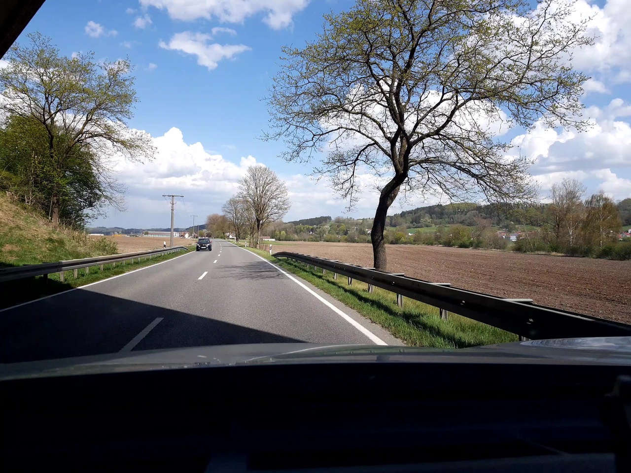
| bridge | yes |
|---|---|
| change:lanes | no|no |
| hazard | side_winds |
| highway | trunk |
| image | https://storage13.openstreetcam.org/files/photo/2020/4/18/lth/2136322_2_67649_7.jpg |
| lanes | 2 |
| lanes:backward | 1 |
| lanes:forward | 1 |
| layer | 1 |
| lit | no |
| maxspeed | 100 |
| maxweight:signed | no |
| motorroad | yes |
| oneway | no |
| overtaking | no |
| priority_road | designated |
| ref | B 30;B 465 |
| shoulder | no |
| source:maxspeed | DE:rural |
| surface | asphalt |
| survey:date | 2020-04-18 |
| zone:traffic | DE:rural |
Nodes
3 nodes
- 252733995 (part of way B 30;B 465 (225893459))
- 266408425
- 252733987 (part of way B 30;B 465 (186045692))
Welcome to OpenStreetMap!
OpenStreetMap is a map of the world, created by people like you and free to use under an open license.
Hosting is supported by Fastly, OSMF corporate members, and other partners.
| https://openstreetmap.org/copyright | https://openstreetmap.org |
| Copyright OpenStreetMap and contributors, under an open license | |