Loading...
Way: West Main Street (308664217)
Version #6
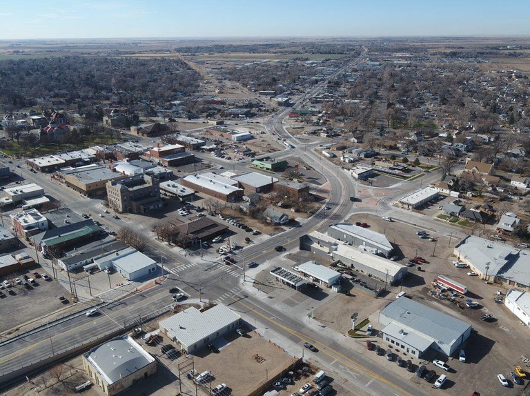
Sterling S Curve project complete; alignments based off of this aerial photo from CDOT: https://www.codot.gov/news/2020/december-2020/assets/sterling-s-curve.jpg/@@images/d4700ceb-e8d1-49cd-a781-f4c480884fe5.jpeg
Tags
| NHS | yes |
|---|---|
| alt_name | State Highway 14 |
| hgv | designated |
| hgv:national_network | yes |
| highway | tertiary_link |
| lanes | 1 |
| name | West Main Street |
| name_1 | County Road 26 |
| oneway | yes |
| sidewalk | right |
| source | tiger |
| source:hgv:national_network | CDOT "Highway Data Explorer" |
| surface | asphalt |
| tracktype | grade1 |
| turn:lanes:forward | left|through|right |
Nodes
6 nodes
- 3780475186 (part of way West Main Street (323723139))
- 3780475189
- 1510004646
- 1510004647
- 3139323073
- 176112970 (part of ways South Division Avenue (49231412) and West Main Street (323723141))
Welcome to OpenStreetMap!
OpenStreetMap is a map of the world, created by people like you and free to use under an open license.
Hosting is supported by Fastly, OSMF corporate members, and other partners.
| https://openstreetmap.org/copyright | https://openstreetmap.org |
| Copyright OpenStreetMap and contributors, under an open license | |