Loading...
Way: Finken-Schneise (26925270)
Version #10
Specify road smoothness
- Edited by Bierphysik
- Changeset #140461337
Tags
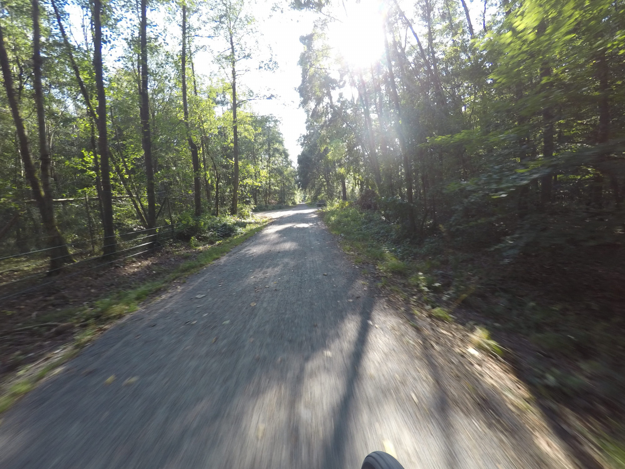
| bicycle | yes |
|---|---|
| foot | yes |
| highway | track |
| horse | yes |
| image | https://storage12.openstreetcam.org/files/photo/2019/9/18/lth/1964433_09742_5d81eaa16c0ae.jpg |
| lit | no |
| motor_vehicle | forestry |
| name | Finken-Schneise |
| smoothness | intermediate |
| surface | fine_gravel |
| survey:date | 2019-09-18 |
| tracktype | grade2 |
Part of
4 relations
- Relation Regionalpark Route (27962)
- Relation Südhessen-Route 8 (31481)
- Relation Rund um Langen (30069)
- Relation Südhessen-Route 17 (17145)
Nodes
8 nodes
- 36177848 (part of ways Finken-Schneise (25833154), Siebente-Stein-Schneise (538610865), and Lehrweg (1202821239))
- 281855116 (part of way Weidsee-Schneise (25841125))
- 4610219529
- 4610219528
- 4610219527
- 257164387
- 4610219530
- 36177850 (part of ways Kirchschneise (26620923), Steingrundschneise (26624161), Steingrundschneise (21797331), and Kirchschneise (26925295))
Welcome to OpenStreetMap!
OpenStreetMap is a map of the world, created by people like you and free to use under an open license.
Hosting is supported by Fastly, OSMF corporate members, and other partners.
| https://openstreetmap.org/copyright | https://openstreetmap.org |
| Copyright OpenStreetMap and contributors, under an open license | |