Loading...
Relation: Белоярское сельское поселение (3337566)
Version #10
Поправил разрыв водохранилища
Tags
| admin_level | 8 |
|---|---|
| boundary | administrative |
| name | Белоярское сельское поселение |
| official_status | ru:сельское поселение |
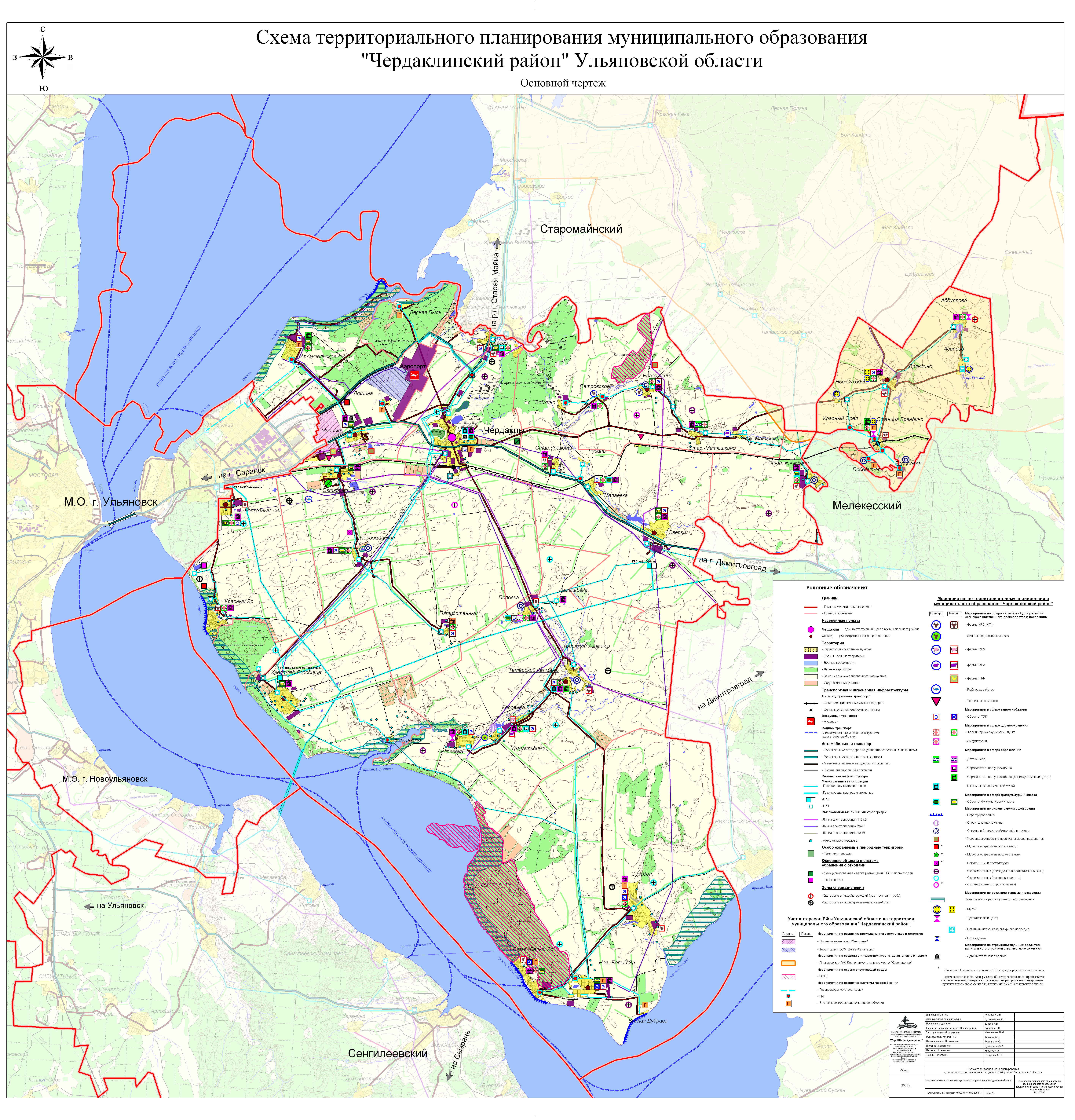
| source | Схема территориального планирования Чердаклинского района |
| source:data | 2008 |
| source:url | http://cherdakli.com/image/2-16.03.2010.jpg |
| type | boundary |
| wikidata | Q4082971 |
| wikipedia | ru:Белоярское_сельское_поселение_(Ульяновская_область) |
Part of
1 relation
- Relation Чердаклинский район (1760248) (as subarea)
Members
15 members
- Way 247548604 as outer
- Way 247548594 as outer
- Way 247548598 as outer
- Way 247548615 as outer
- Way 247548591 as outer
- Way 130785790 as outer
- Way 279395992 as outer
- Way 130785832 as outer
- Way 130785811 as outer
- Way 252014757 as outer
- Way 252014759 as outer
- Way 252014758 as outer
- Node Новый Белый Яр (336525823) as admin_centre
- Way 1198407465 as outer
- Way 1198411344 as outer
Welcome to OpenStreetMap!
OpenStreetMap is a map of the world, created by people like you and free to use under an open license.
Hosting is supported by Fastly, OSMF corporate members, and other partners.
| https://openstreetmap.org/copyright | https://openstreetmap.org |
| Copyright OpenStreetMap and contributors, under an open license | |