Loading...
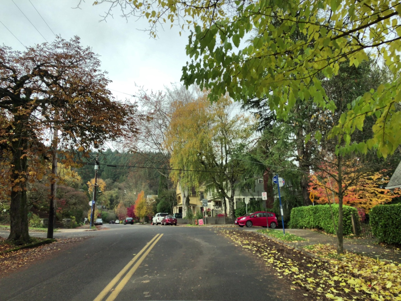
Node: Northwest Thurman & 32nd (1525952356)
Version #10
Add whether public transport stops are lit
- Edited by cincodenada
- Changeset #145858138
- Location: 45.5359618, -122.7145825
Tags
| bench | no |
|---|---|
| bin | no |
| bus | yes |
| highway | bus_stop |
| image | http://storage6.openstreetcam.org/files/photo/2017/11/19/lth/972301_154f8_5.jpg |
| lit | no |
| name | Northwest Thurman & 32nd |
| network | TriMet |
| network:wikidata | Q1766623 |
| network:wikipedia | en:TriMet |
| operator | TriMet |
| pole | yes |
| public_transport | platform |
| ref | 5841 |
| shelter | no |
| survey:date | 2017-11-19 |
| tactile_paving | yes |
Part of
1 relation
- Relation Bus 26: Providence Park => Thurman Street (2916454) (as platform)
Welcome to OpenStreetMap!
OpenStreetMap is a map of the world, created by people like you and free to use under an open license.
Hosting is supported by Fastly, OSMF corporate members, and other partners.
| https://openstreetmap.org/copyright | https://openstreetmap.org |
| Copyright OpenStreetMap and contributors, under an open license | |