Loading...
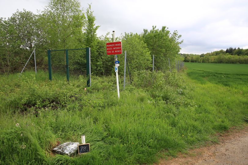
Node History: FL 78 (1314151276)
Version #5
added picture of bordermarker
- Edited by Jannis Deeleman
- Changeset #138188438
- Location: 49.4565050, 6.0012340
Tags
| historic | boundary_stone |
|---|---|
| image | https://ontheborder.eu/grenspalencom/lufr/RK3B4026.JPG |
| inscription | 78 F L |
| man_made | border_post |
| material | basalt |
| name | FL 78 |
| ref | FL 78 |
Version #4
location based on visit May 2023
- Edited by Jannis Deeleman
- Changeset #138160020
- Location: 49.4565050, 6.0012340
Tags
| historic | boundary_stone |
|---|---|
| inscription | 78 F L |
| man_made | border_post |
| material | basalt |
| name | FL 78 |
| ref | FL 78 |
Version #3
Administrative clean-up, added border post references
- Edited by Stereo
- Changeset #22835168
- Location: 49.4565050, 6.0012340
Tags
| historic | boundary_stone |
|---|---|
| man_made | border_post |
| ref | FL 78 |
Version #2
Cleaned up tagging of nodes that only have a name
- Edited by Stereo
- Changeset #11725858
- Location: 49.4565050, 6.0012340
Tags
| historic | boundary_stone |
|---|---|
| man_made | border_post |
| name | Frontière Extérieure21 |
Version #1
BBOX:5.97,49.45,6.00,49.47 ADD:30 UPD:0 DEL:0
- Edited by wilda69
- Changeset #8360823
- Location: 49.4566292, 6.0011491
Tags
| name | Frontière Extérieure21 |
|---|
Welcome to OpenStreetMap!
OpenStreetMap is a map of the world, created by people like you and free to use under an open license.
Hosting is supported by Fastly, OSMF corporate members, and other partners.
| https://openstreetmap.org/copyright | https://openstreetmap.org |
| Copyright OpenStreetMap and contributors, under an open license | |