Loading...
Node: Elgin Street/Lygon Street (1287222216)
Version #8
Add whether public transport stops are lit
- Edited by CG Mapper
- Changeset #139957452
- Location: -37.7973330, 144.9675033
Tags
| bench | yes |
|---|---|
| bin | no |
| bus | yes |
| departures_board | timetable |
| highway | bus_stop |
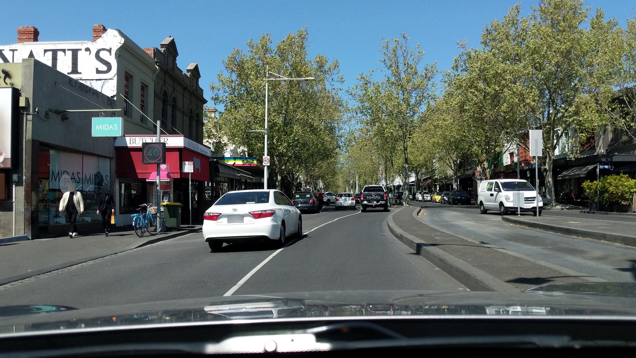
| image | https://storage12.openstreetcam.org/files/photo/2019/10/2/lth/2030401_5aeb7_5d949a951bdc8.jpg |
| lit | yes |
| name | Elgin Street/Lygon Street |
| network | PTV - Metropolitan Buses |
| operator | Transdev |
| public_transport | platform |
| ref | ID.942 |
| route_ref | 200;207 |
| shelter | yes |
| survey:date | 2019-10-02 |
| tactile_paving | yes |
| wheelchair | yes |
Part of
3 relations
- Relation Bus 207: City (Queen Street) => Kew Junction => Doncaster Shopping Centre (2581048) (as platform)
- Relation Elgin & Lygon Streets (5823184) (as platform)
- Relation Bus 200: City (Queen Street) => Kew Junction => Bulleen (2574139) (as platform)
Welcome to OpenStreetMap!
OpenStreetMap is a map of the world, created by people like you and free to use under an open license.
Hosting is supported by Fastly, OSMF corporate members, and other partners.
| https://openstreetmap.org/copyright | https://openstreetmap.org |
| Copyright OpenStreetMap and contributors, under an open license | |