Changeset: 149530939
Antiguo ramal Chillán-Recinto, con subramal Coihueco-Niblinto (recorrido aproximado conforme a fuentes que se indican, solicito que si alguien sabe más del tema me informe o corrija)
Closed by Sergio_Arenas
Tags
| changesets_count | 477 |
|---|---|
| created_by | iD 2.28.1 |
| hashtags | #ramal;#ferrocarril;#chillán;#coihueco;#pinto;#recinto;#tren |
| host | https://www.openstreetmap.org/edit |
| imagery_used | Bing Maps Aerial |
| locale | es |
| review_requested | yes |
| source | https://es.wikipedia.org/wiki/Ramal_Chill%C3%A1n-Recinto;http://chillanantiguo.blogspot.com/2010/07/tren-ramal-recinto.html;http://www.ferrocarrilesenelconosur.co.uk/06slchillanlaste.html |
Discussion
-
Comment from jptolosa
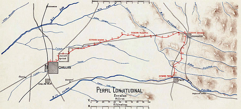
Hola, según se ve en un mapa de una de las páginas que citaste, la línea doblaba hacia el sur casi hasta entrar a Pinto, del mismo modo que el artículo de Wikipedia habla de una estación con ese nombre: http://www.ferrocarrilesenelconosur.co.uk/Resources/Chillan%20map%20small.jpg
-
Comment from felipeeugenio
Hola Sergio. Además hay partes donde ya estaba dibujada la lía, lo que pasa es que no está como rail, si no como el sendero o camino angosto que hoy es. por favor cuidado con este tipo de dibujos tan amplios.
Ways (3)
- 11783375987, v1
- 11783375988, v1
- 11783375989, v1
- 11783375990, v1
- 11783375991, v1
- 11783375992, v1
- 11783375993, v1
- 11783375994, v1
- 11783375995, v1
- 11783375996, v1
- 11783375997, v1
- 11783375998, v1
- 11783375999, v1
- 11783376000, v1
- 11783376001, v1
- 11783376002, v1
- 11783376003, v1
- 11783376004, v1
- 11783376005, v1
- 11783376006, v1
Welcome to OpenStreetMap!
OpenStreetMap is a map of the world, created by people like you and free to use under an open license.
Hosting is supported by Fastly, OSMF corporate members, and other partners.
| https://openstreetmap.org/copyright | https://openstreetmap.org |
| Copyright OpenStreetMap and contributors, under an open license | |