Loading...
Changeset: 135389205
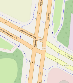
Update the junction to be mapped as complex junction, like wiki https://wiki.openstreetmap.org/w/images/thumb/8/8e/Traffic_signals_alternative_mapping.png/300px-Traffic_signals_alternative_mapping.png
Closed by krb100
Tags
| changesets_count | 448 |
|---|---|
| created_by | iD 2.25.1 |
| host | https://www.openstreetmap.org/edit |
| imagery_used | NRW Orthophoto;Mapillary Images |
| locale | de |
| resolved:help_request:fixme_tag | 1 |
| source | ;streetlevel imagery;mapillary |
Discussion
Ways (1-20 of 26)
- 1
- 2
- B 221 (1165910674), v1
- L 117 (1165910675), v1
- Heinsberger Straße (1165910676), v1
- L 117 (1165910677), v1
- L 117 (1165910678), v1
- B 221 (1165910679), v1
- B 221 (1165910680), v1
- B 221 (1165910681), v1
- Heinsberger Straße (1165910682), v1
- B 221 (1165910683), v1
- 1165910684, v1
- B 221 (1165910685), v1
- B 221 (1165910686), v1
- 1165910687, v1
- Heinsberger Straße (8084732), v17
- 24386814, v12
- L 117 (149722731), v9
- 191538120, v7
- 191538122, v9
- B 221 (191538123), v13
Relations (8)
- Bundesstraße 221 (26665), v293
- L 117 NRW (28885), v86
- Bus SB 1: Erkelenz Bahnhof => Übach-Palenberg (1226156), v154
- Bus SB 1: Übach-Palenberg => Erkelenz (1998757), v119
- 2583282, v3
- 2583284, v5
- 9456079, v2
15770201, v2
Nodes (1-20 of 39)
- 1
- 2
- 10843396697, v1
- 10843396698, v1
- 10843396699, v1
- 10843396700, v1
- 10843396701, v1
- 10843396702, v1
- 10843396703, v1
- 10843396704, v1
- 10844055305, v1
- 10844055306, v1
- 10844055307, v1
- 10844055308, v1
- 10844055309, v1
- 10844055310, v1
- 10844055311, v1
- 10844055312, v1
- 10844055313, v1
- 10844055314, v1
- 10844055315, v1
- 10844055316, v1
Welcome to OpenStreetMap!
OpenStreetMap is a map of the world, created by people like you and free to use under an open license.
Hosting is supported by Fastly, OSMF corporate members, and other partners.
| https://openstreetmap.org/copyright | https://openstreetmap.org |
| Copyright OpenStreetMap and contributors, under an open license | |