Loading...
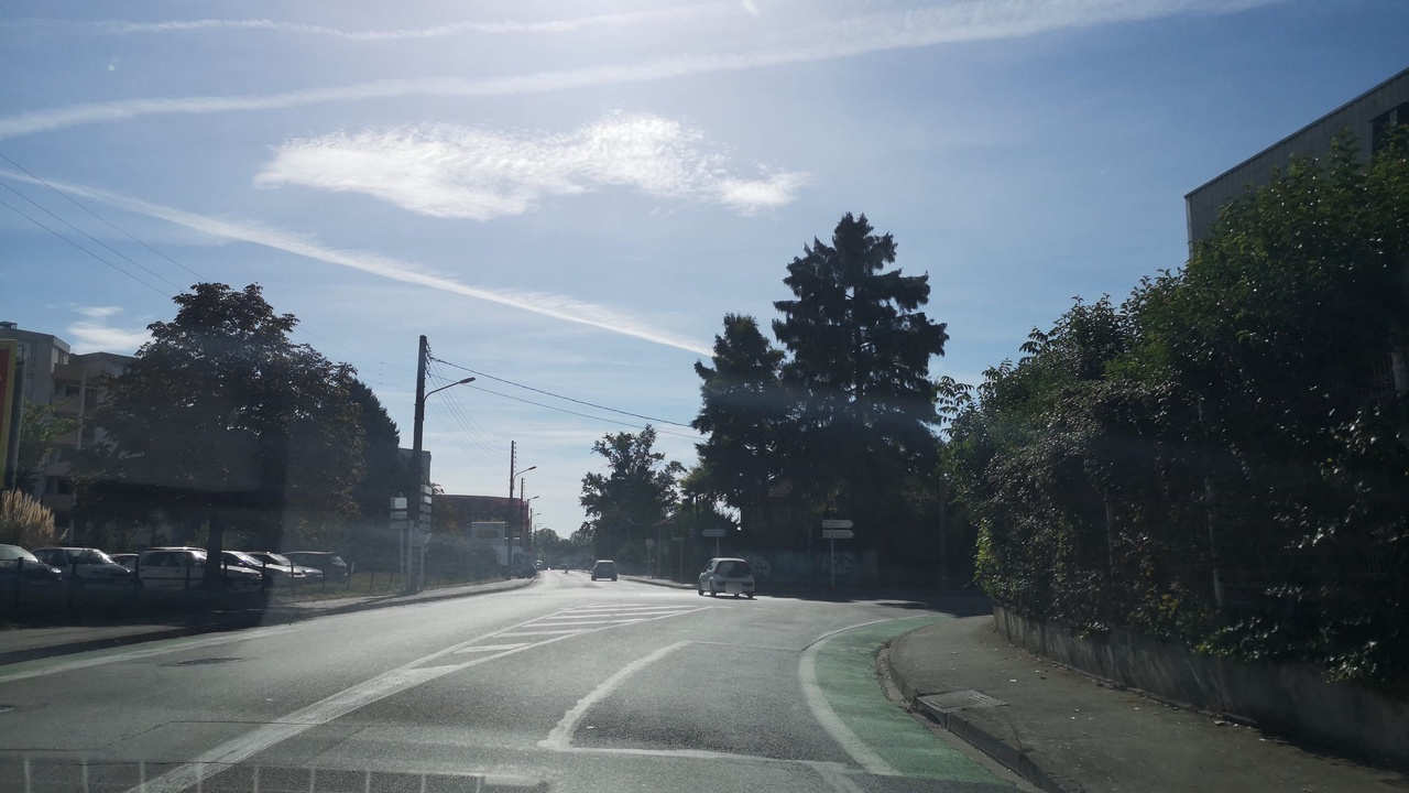
Way: Chemin Carrosse (89633812)
Version #6
Ajout de limitations de vitesse
Tags
| cycleway | lane |
|---|---|
| highway | tertiary |
| image | https://storage9.openstreetcam.org/files/photo/2018/9/22/lth/1291963_5_e5933_31.jpg |
| lanes | 1 |
| maxspeed | 30 |
| name | Chemin Carrosse |
| oneway | yes |
| parking_lane | none |
| source | cadastre-dgi-fr source : Direction Générale des Impôts - Cadastre. Mise à jour : 2010 |
| source:maxspeed | https://data.toulouse-metropole.fr/explore/dataset/zones-30/ |
| surface | asphalt |
| survey:date | 2018-09-22 |
| zone:maxspeed | FR:30 |
Part of
2 relations
- Relation Chemin Carrosse (2578531) (as street)
- Relation Bus 23: Jeanne d'Arc → Rangueil (1461490)
Nodes
6 nodes
- 416150754 (part of ways Chemin Carrosse (22804024) and Chemin Carrosse (89633801))
- 1038818342
- 1038818391
- 1038818371
- 1038818420
- 245256509 (part of ways Chemin Carrosse (523994817) and Chemin Carrosse (616124966))
Welcome to OpenStreetMap!
OpenStreetMap is a map of the world, created by people like you and free to use under an open license.
Hosting is supported by Fastly, OSMF corporate members, and other partners.
| https://openstreetmap.org/copyright | https://openstreetmap.org |
| Copyright OpenStreetMap and contributors, under an open license | |