Loading...
Way: Äpfinger Straße (39530759)
Version #7
Erweiterung Radverkehrsnetz BC
Tags
| highway | secondary |
|---|---|
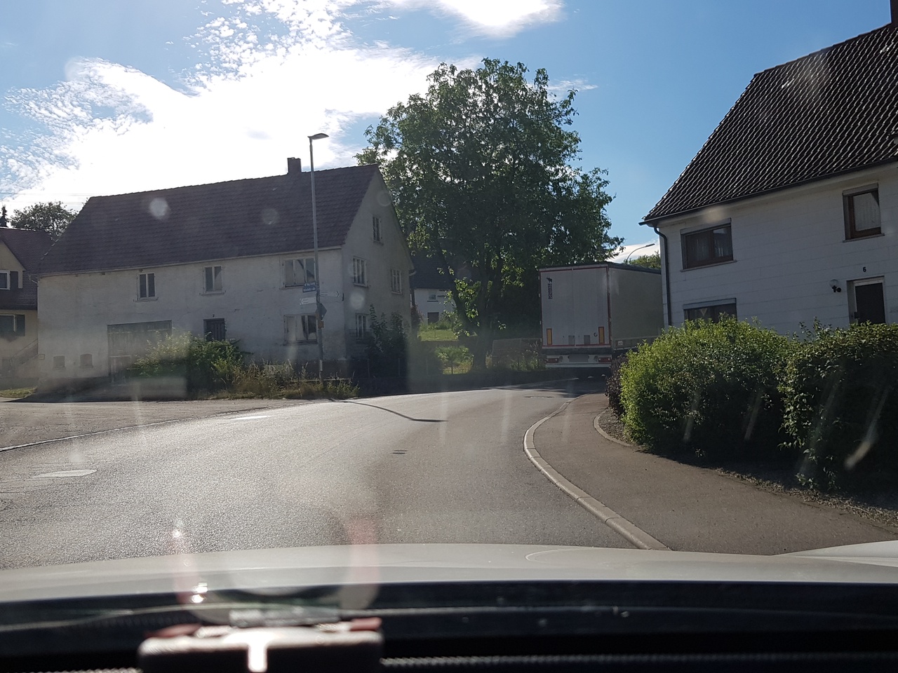
| image | https://storage11.openstreetcam.org/files/photo/2019/7/5/lth/1577017_566a5_5d1f877370d65.jpg |
| lanes | 2 |
| lcn | yes |
| maxspeed | 50 |
| name | Äpfinger Straße |
| ref | L 266 |
| surface | asphalt |
| survey:date | 2019-07-05 |
Part of
4 relations
Nodes
6 nodes
- 245786529 (part of ways Äpfinger Straße (701401053) and Bahnhofstraße (22868761))
- 2513739692
- 2513739690
- 245786524 (part of way Dürnachweg (22868759))
- 2290522003
- 31382972 (part of ways Baltringer Straße (23374223) and Maselheimer Straße (876583553))
Welcome to OpenStreetMap!
OpenStreetMap is a map of the world, created by people like you and free to use under an open license.
Hosting is supported by Fastly, OSMF corporate members, and other partners.
| https://openstreetmap.org/copyright | https://openstreetmap.org |
| Copyright OpenStreetMap and contributors, under an open license | |