Loading...
Way: Langenberger Straße (25846765)
Version #29
Specify whether there are cycleways
Tags
| cycleway:left | separate |
|---|---|
| cycleway:right | no |
| cycleway:smoothness | good |
| cycleway:surface | paving_stones |
| hazmat | designated |
| highway | secondary |
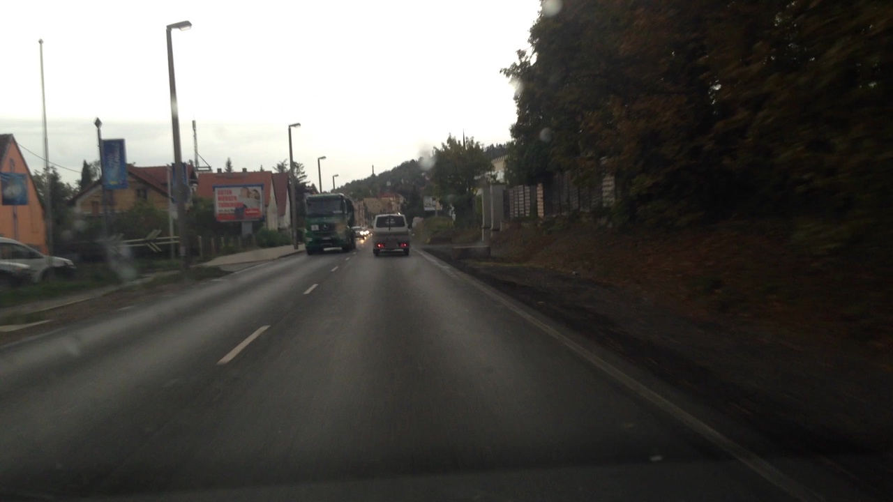
| image | https://storage9.openstreetcam.org/files/photo/2018/9/25/lth/1292861_7_87891_27.jpg |
| lanes | 2 |
| lit | yes |
| maxspeed | 50 |
| name | Langenberger Straße |
| old_ref | B 2;B 7 |
| ref | L 3007 |
| sidewalk:left | separate |
| sidewalk:right | no |
| surface | asphalt |
| survey:date | 2018-09-25 |
Part of
23 relations
- Relation Bus 229: Amazon => Gera (13158661)
- Relation Bus 203: Bad Köstritz => Gera (13839345)
- Relation Bus 229: Gera => Hermsdorf (5956068)
- Relation Bus 229: Hermsdorf => Gera (5969734)
- Relation Bus 229: Großaga => Seligenstädt => Untermhaus => Gera (10404735)
- Relation Bus 229: Gera => Steinbrücken => Großaga => Hermsdorf (10404737)
- Relation Bus 229: Hermsdorf => Großaga => Steinbrücken => Gera (10404738)
- Relation Bus 229: Gera => Amazon (13158662)
- Relation Bus 229: Gera => Untermhaus => Hain => Großaga (15744466)
- Relation Bus 203: Gera => Bad Köstritz (540962)
- Relation B 7 (1281742)
- Relation Bus 204: Hermsdorf => Weißenborn => Bad Köstritz => Gera (10591625)
- Relation Bus 229: Hermsdorf => Wernsdorf => Hain => Gera (10416188)
- Relation Bus 229: Gera => Hain => Wernsdorf => Hermsdorf (10416196)
- Relation Bus 203: Gera => Bad Köstritz => Crossen, Schule => Eisenberg (10592165)
- Relation Bus 203: Eisenberg => Crossen, Schule => Bad Köstritz => Gera (10592166)
- Relation Bus 203: Gera => Bad Köstritz => Crossen => Eisenberg (10592167)
- Relation Bus 203: Eisenberg => Crossen => Bad Köstritz => Gera (10592168)
- Relation Bus 229: Gera, Osterlandgymnasium => Steinbrücken => Großaga (10404736)
- Relation Bus 229: Großaga => Steinbrücken => Gera, Osterlandgymnasium (13852440)
- Relation Reußische Fürstenstraße (455088)
- Relation Bus 204: Gera => Bad Köstritz, Bahnhof => Hermsdorf (10591626)
- Relation Bus 204: Gera => Bad Köstritz => Weißenborn => Hermsdorf (8902131)
Nodes
9 nodes
- 264785942 (part of ways Langenberger Straße (24397091) and Langenberger Straße (156992106))
- 27594739
- 27594737
- 1426571194
- 27594734
- 5574929094
- 3388984381 (part of way Langenberger Straße (331797181))
- 5574929096
- 3388984377 (part of ways Langenberger Straße (331797180), 1108273512, and Langenberger Straße (1240880010))
Welcome to OpenStreetMap!
OpenStreetMap is a map of the world, created by people like you and free to use under an open license.
Hosting is supported by Fastly, OSMF corporate members, and other partners.
| https://openstreetmap.org/copyright | https://openstreetmap.org |
| Copyright OpenStreetMap and contributors, under an open license | |