Loading...
Way: 120948249
Version #7
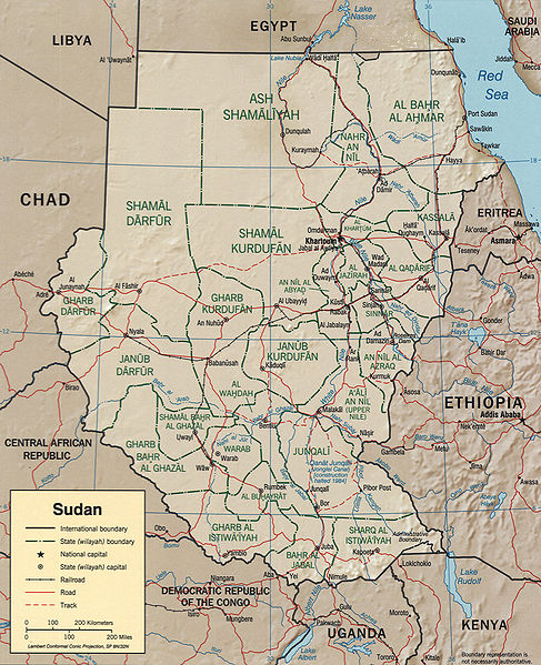
Adding borders details. OCHA, 2018
Tags
| admin_level | 4 |
|---|---|
| boundary | administrative |
| source | http://upload.wikimedia.org/wikipedia/commons/a/aa/Sudan_political_map_2000.jpg, http://warper.geothings.net/maps/preview/4507 |
Part of
4 relations
- Relation Aweil Centre (13501244) (as outer)
- Relation Raga (13500667) (as outer)
- Relation Western Bahr el Ghazal (2190484) (as outer)
- Relation Northern Bahr el Ghazal (2190520) (as outer)
Nodes
4 nodes
- 9301390150 (part of ways 1008216093 and 1008216094)
- 1354934198
- 1354934224
- 9301026654 (part of ways 1008175712 and 1008182788)
Welcome to OpenStreetMap!
OpenStreetMap is a map of the world, created by people like you and free to use under an open license.
Hosting is supported by Fastly, OSMF corporate members, and other partners.
| https://openstreetmap.org/copyright | https://openstreetmap.org |
| Copyright OpenStreetMap and contributors, under an open license | |