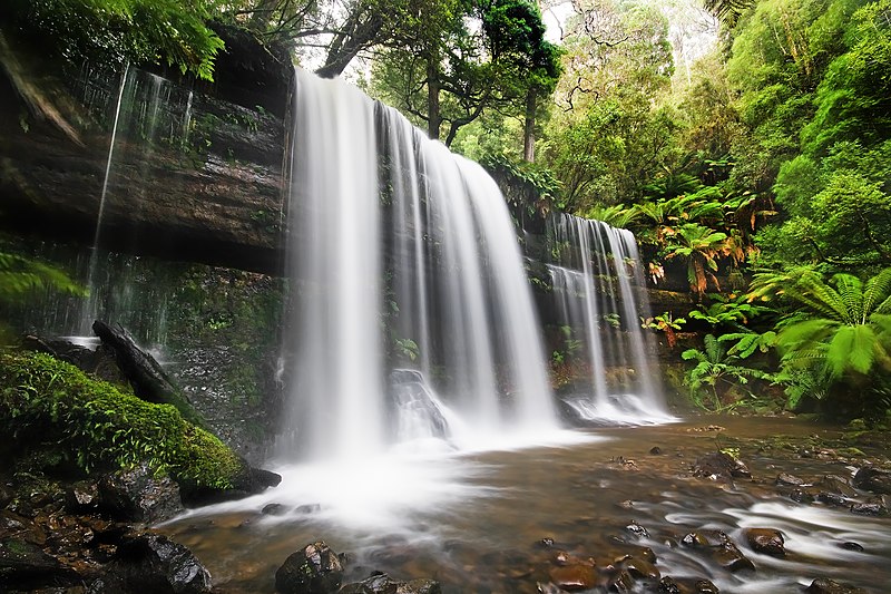
Tasmanian National Parks
Posted by porjo on 15 June 2013 in English. Last updated on 8 November 2017.
Tasmania has the most spectacular natural beauty that I’ve ever seen. It also has some of the most pristine wilderness areas you can find on the planet. Visiting these places is a magical experience - like going back in time to some prehistoric era. Thankfully most of it is protected. However, until now, the Openstreetmap database has been missing most of the National Park (and other protected areas) boundaries. Over the next few weeks I hope to change that.

I’ve been in contact with the Tasmanian Department of Primary Industries, Parks, Water and Environment requesting a shapefile of the boundary data. I explained to them what OSM is and how the OSM database is used. To my surprise not only did I get a reply but I was given a shapefile! I quizzed them on copyright, licensing etc and they’ve assured me that it’s fine to use with OSM. I’ve requested that they upload the shapefile to the Australian Government’s http://data.gov.au/ website so others can use it too. Fingers crossed!
I’m going to start with data tagged as ‘National Park’, concentrating on the western side of the island and work from there.
If anyone else would like to help, please let me know.
Discussion