OpenStreetMap

porjo's Diary

Recent diary entries

5 years of Bing satellite imagery

Posted by porjo on 30 November 2015 in English.

5 years ago today Steve Coast announced Microsoft’s decision to open up access to Bing imagery.

I’d be interested to know what proportion of contributions to the database cite Bing as their source, but it would have to be a very large proportion! It makes you wonder, if it weren’t for Bing imagery where OSM would be today?

I’d like to take this oppourtunity to say a big thankyou to Microsoft for allowing the OSM community to use the imagery in the way it has.

Tasmanian National Parks

Posted by porjo on 15 June 2013 in English. Last updated on 8 November 2017.

Lake Pedder

Tasmania has the most spectacular natural beauty that I’ve ever seen. It also has some of the most pristine wilderness areas you can find on the planet. Visiting these places is a magical experience - like going back in time to some prehistoric era. Thankfully most of it is protected. However, until now, the Openstreetmap database has been missing most of the National Park (and other protected areas) boundaries. Over the next few weeks I hope to change that.
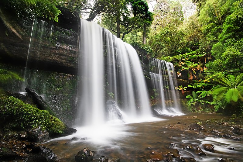
Russell Falls, Mt Field National Park

I’ve been in contact with the Tasmanian Department of Primary Industries, Parks, Water and Environment requesting a shapefile of the boundary data. I explained to them what OSM is and how the OSM database is used. To my surprise not only did I get a reply but I was given a shapefile! I quizzed them on copyright, licensing etc and they’ve assured me that it’s fine to use with OSM. I’ve requested that they upload the shapefile to the Australian Government’s http://data.gov.au/ website so others can use it too. Fingers crossed!

I’m going to start with data tagged as ‘National Park’, concentrating on the western side of the island and work from there.

If anyone else would like to help, please let me know.

Location: Southwest, Derwent Valley, Tasmania, Australia

Coastline Update Frequency

Posted by porjo on 18 December 2012 in English.

The wiki says that the coastline is updated every few weeks, however I have a coastline edit that is still awaiting an update after 5 weeks!?

http://www.openstreetmap.org/?lat=-30.87417&lon=153.02411&zoom=17&layers=M

It’d be great if there was a page somewhere that indicated when the last/next update cycle is due to run so I could know if it’s just a matter of waiting, or whether there is something wrong with the edit.