
Filipino YouthMappers: The leaders of TODAY in the local OSM community'
Posted by feyeandal on 27 December 2022 in English.In this blog post, I am highlighting the significant contributions of the local chapters of YouthMappers in the OSM-Philippines community in 2022 and sharing a short reflection about the impacts of YouthMappers in a local context.
I want to start with this statement from Dr. Patricia Solis: “OpenStreetMap (OSM) community is a community of communities.” It captures the fact that OSM is more than just an online community; some diverse mappers contribute to the growth of the community. Some humanitarian mappers contribute data from a humanitarian perspective, helping minimize the impacts of disasters. Some hobbyists have been contributing particular knowledge all over the world for years. And now, corporate actors like Meta/Mapillary, Apple Maps, and Grab are contributing data concerning their corporate interests and for different use cases. Plus, there are local communities all around the world and also the local chapters of YouthMappers. It’s really impressive how OSM is a representation of different communities on the map. 🗺️
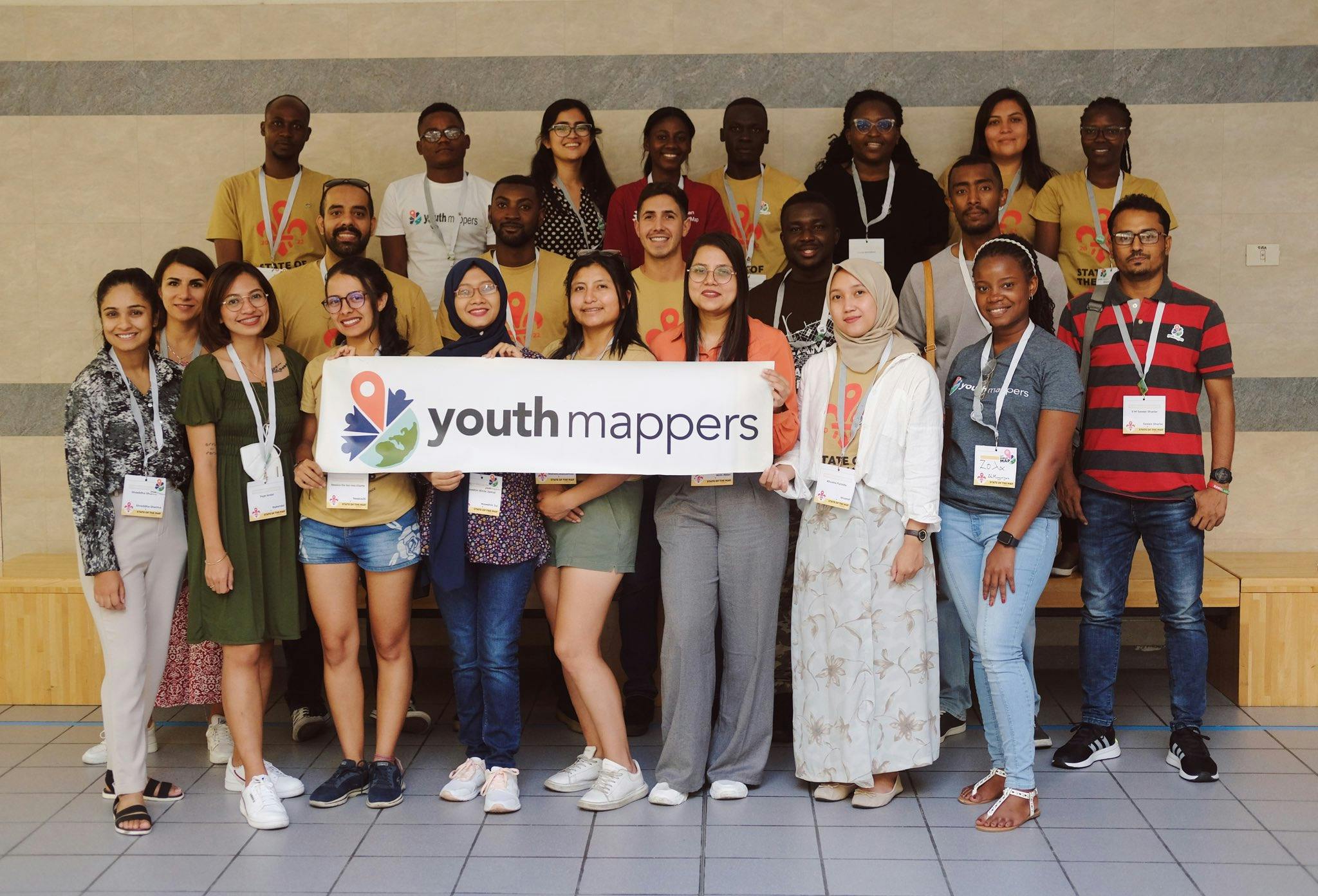
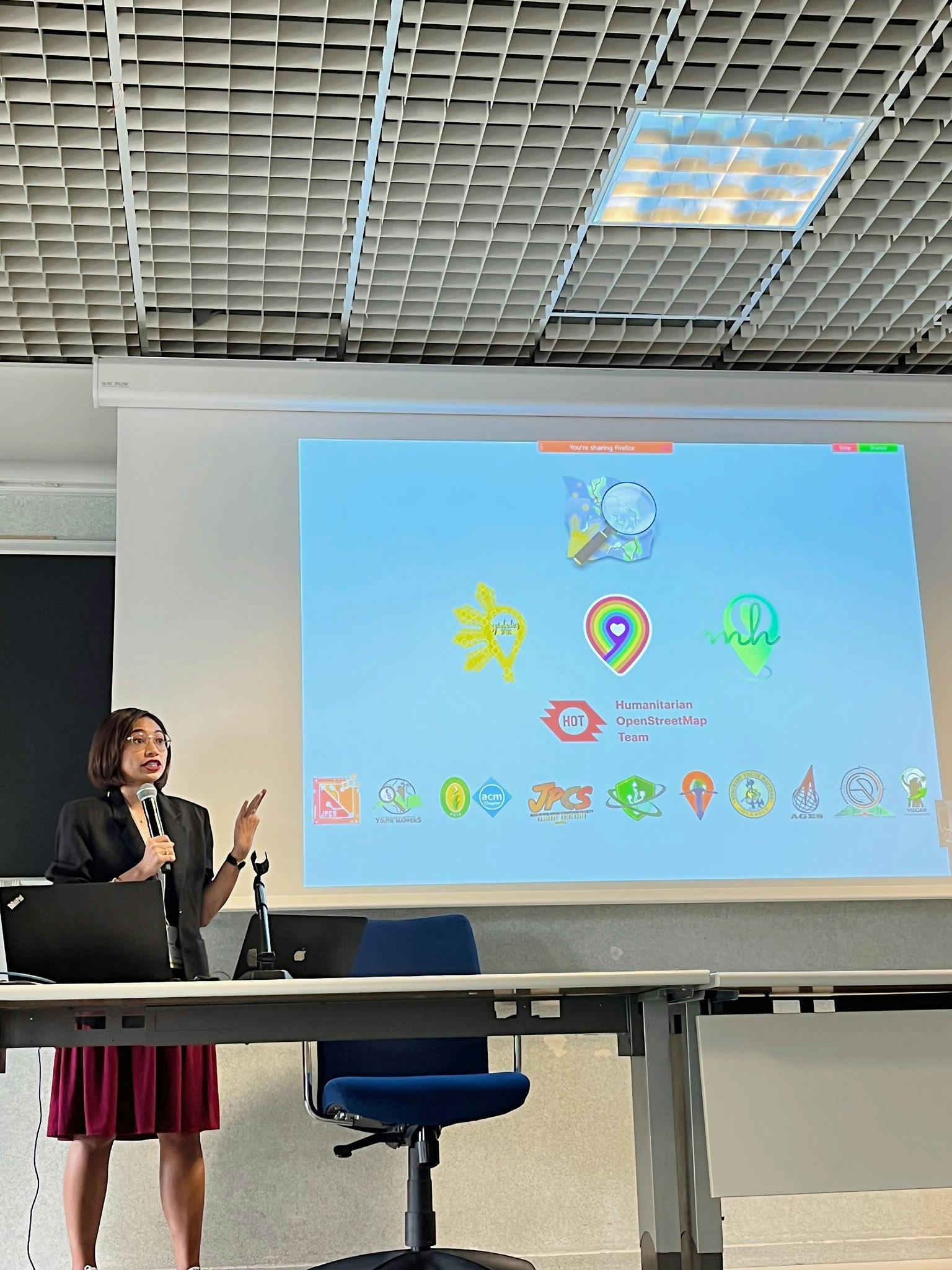
YouthMappers is one community that supports and makes up the OSM community. YouthMappers is an international consortium of university-level student mapping clubs with local chapters in universities of various countries. We leverage open data and open mapping such as OpenStreetMap to solve the development needs of the communities.
As young mappers, our goal is not just to build maps but to build mappers. We strongly believe that building the capacity of our mappers could forge collaboration among the communities and encourage the creation of more maps that could benefit the community. 💪
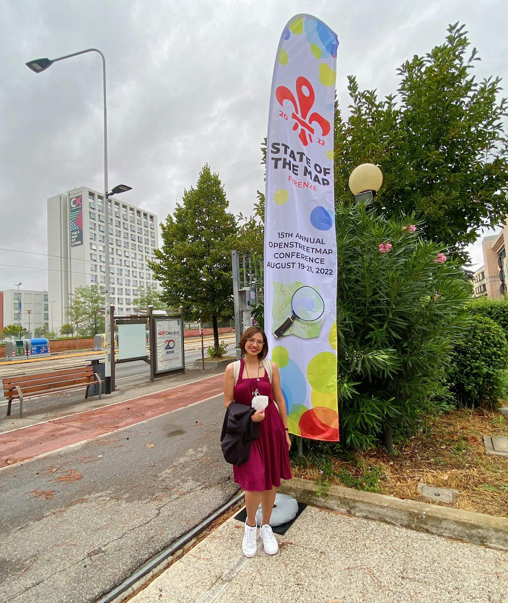
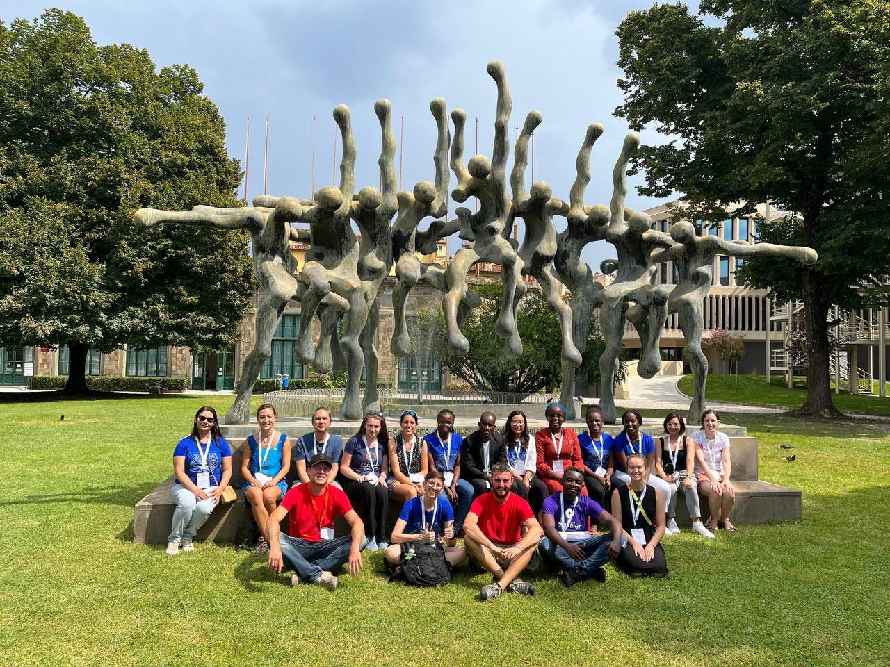
Based on the statistics last August 2022 provided by Jennings Anderson and Dr. Patricia Solis at State of the Map in Florence, Italy, YouthMappers has 324 university chapters on different campuses in 67 countries, and we are proud to say that most of our members are 45% women. 👏
In the local context, OSM-Philippines is also supported by organizations like GeoLadiesPH, MapBeks, Mental Health AWHEREness (who are advocate groups), and of course, the 12 local YouthMappers chapters across the Philippines. 🥰
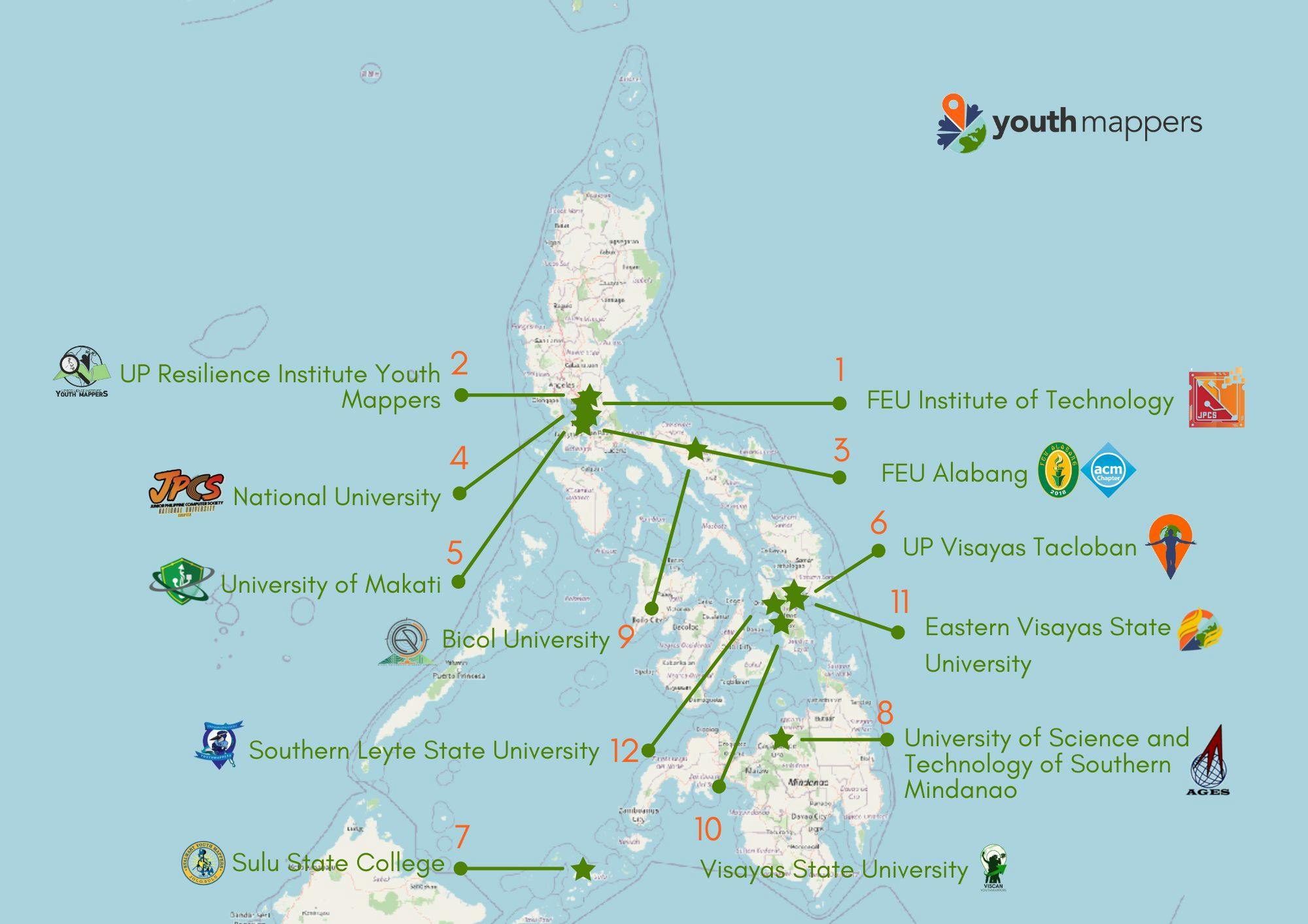
YouthMappers is a real opportunity for us to increase and balance the community of mappers in the least mapped areas in OSM. When I started recruiting universities, my primary consideration was the distribution of data in OSM based on Thinking Machines’ Map the Gap 2020. Still, the recruitment process was challenging as I had to contact the universities individually. The recruitment process got more tricky, mainly because of the restrictions due to the pandemic, and so I utilized the connections from our community members. This helped me minimize the initial introduction and bureaucracy needed to jumpstart the conversation with the universities.
First, I would like to thank AER for supporting their partner universities through the COLLABDev Project and Mark Aimon Pangan, who helped me connect with their partners and eventually become part of the YouthMappers network. USTP-AGES and Viscan YouthMappers are some of the partner universities that were provided with training and mentorship from Aimon. Check out this blog post from USTP-AGES.
And also, huge thanks to UP Tacloban YouthMappers, our first YouthMappers chapter outside Metro Manila. Through their connection with various universities in the Visayas region, we established two local chapters in Eastern Visayas: Eastern Visayas State University and Southern Leyte State University, from their annual MAPABULIG activity.
The support from the local OSM community members and fellow YouthMappers members helped us connect with various communities and conduct more capacity-building activities that strengthened the chapters’ knowledge and skills in mapping. Different chapters were also awarded grants and recognition for their contribution to open mapping throughout the year. 🏅
Among the significant activities and recognition of Filipino YouthMappers include the following:
-
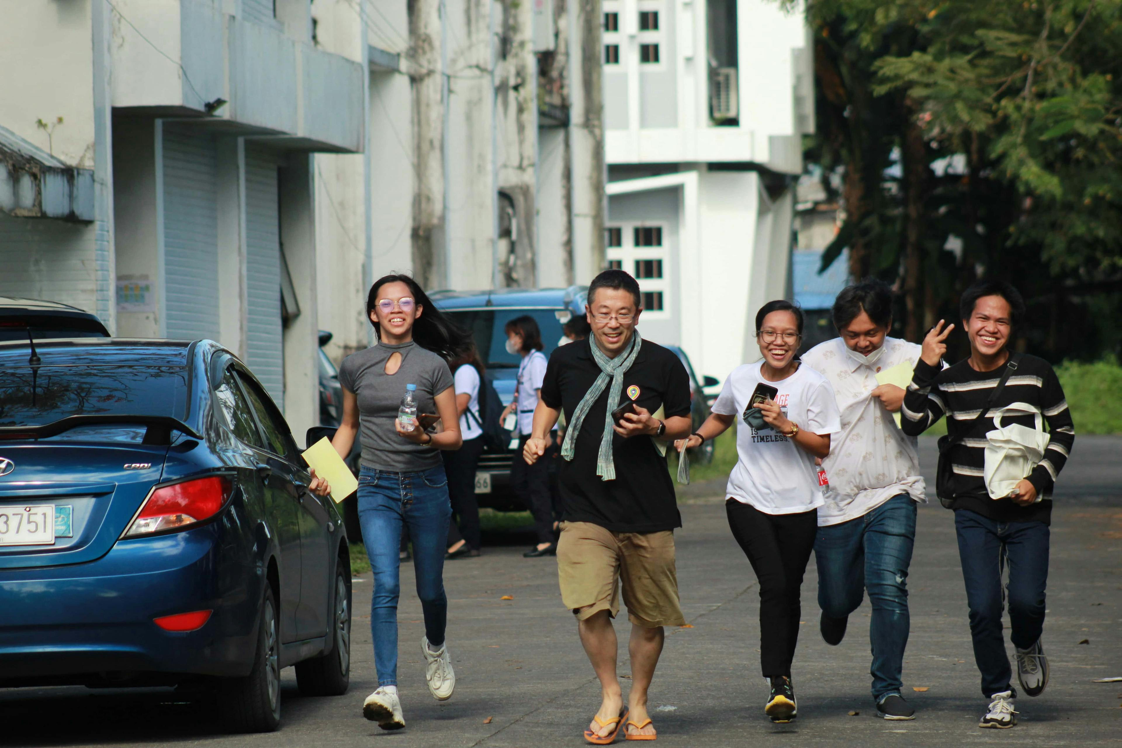
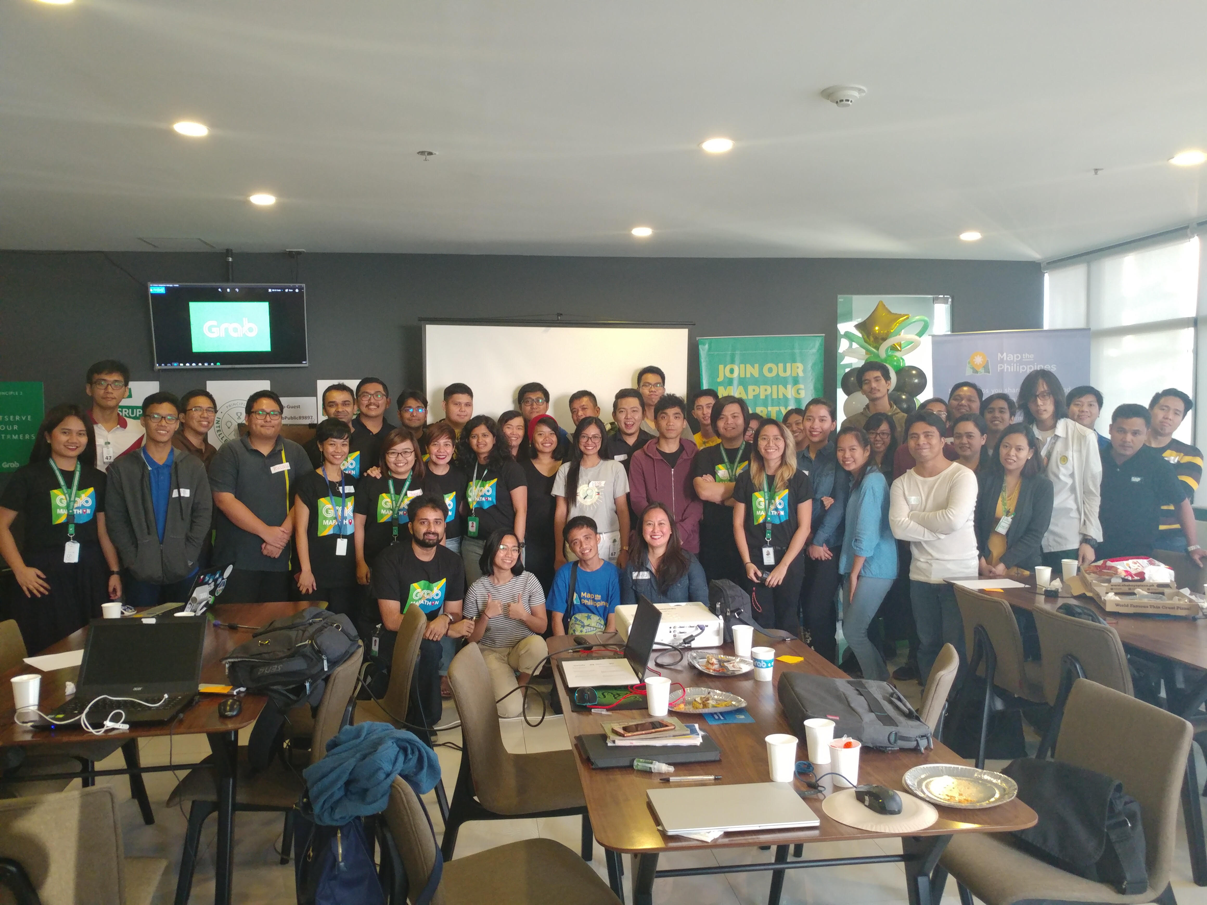
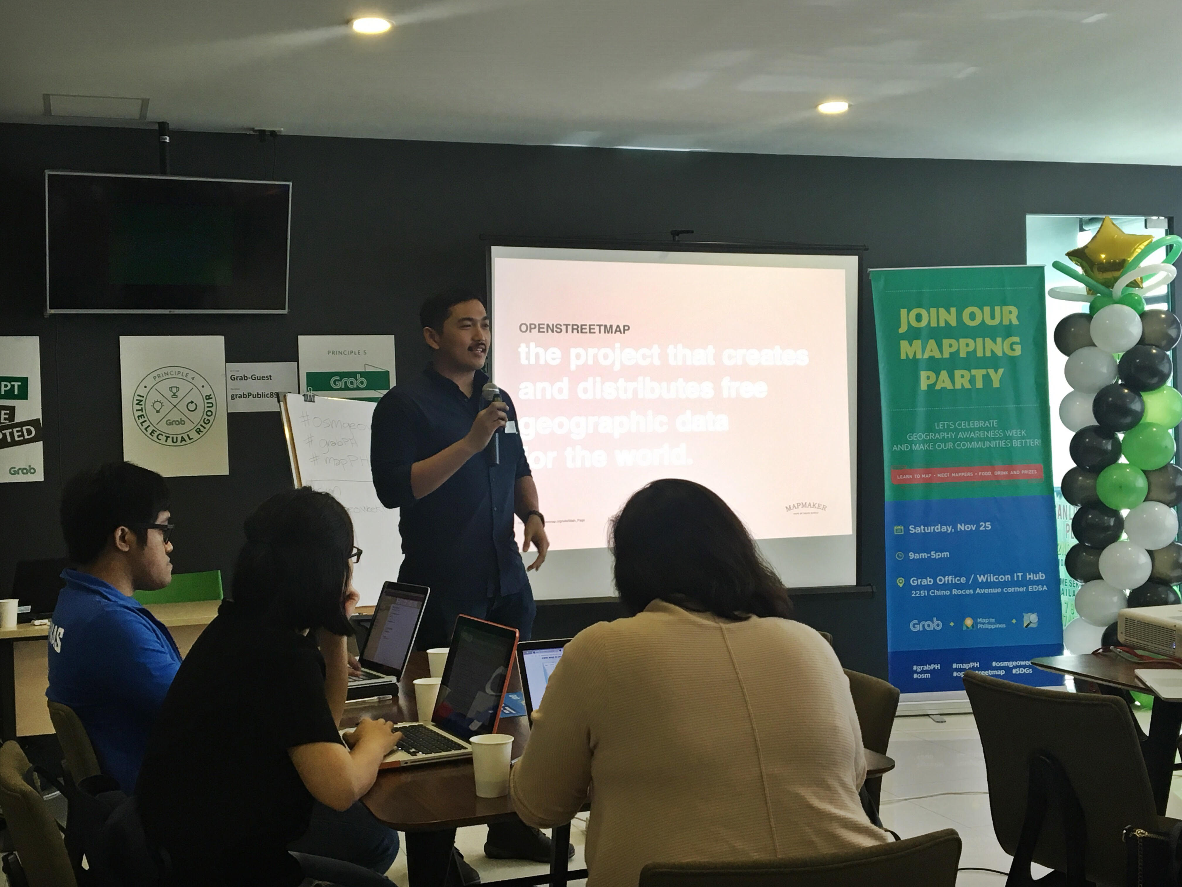
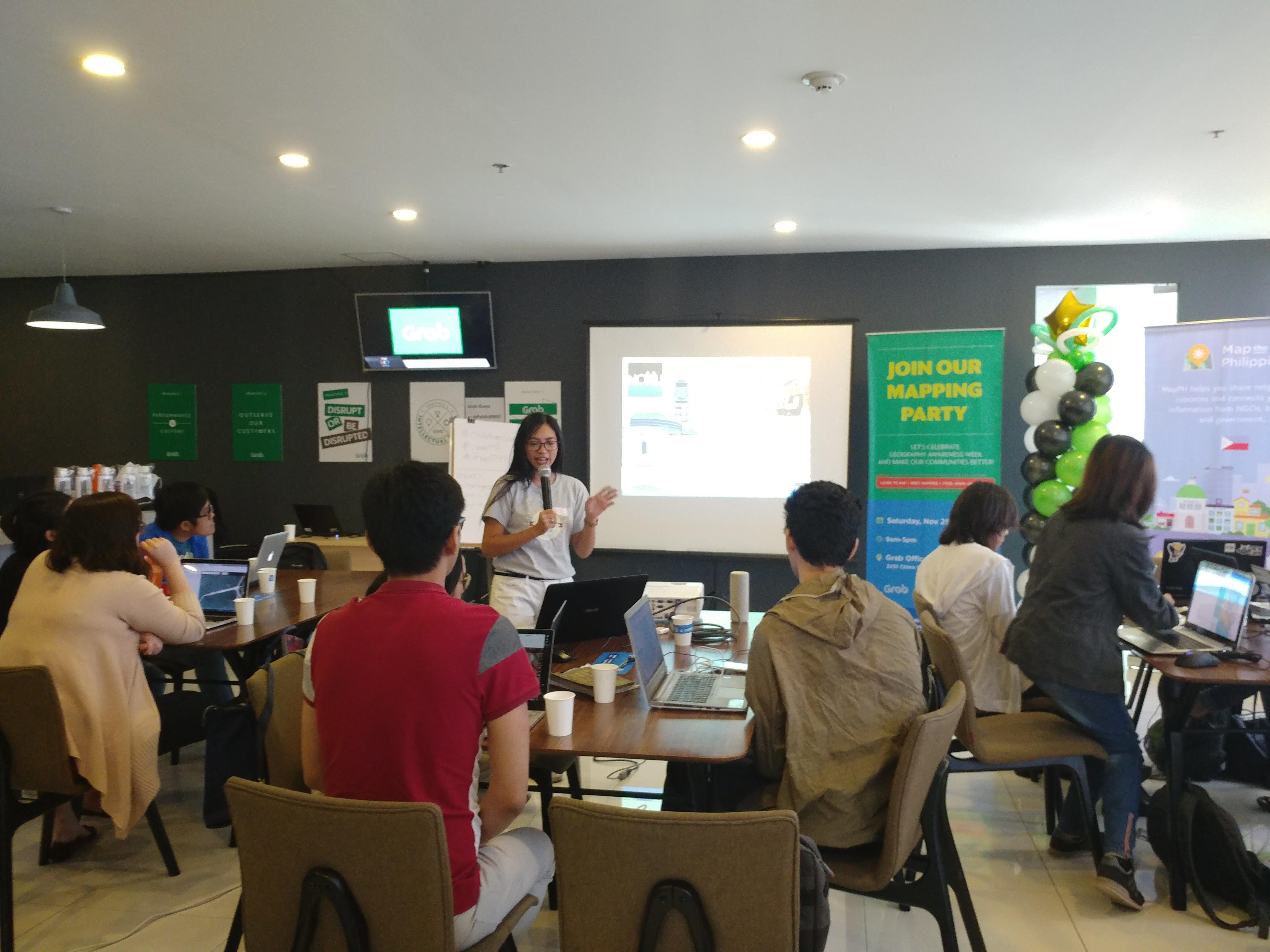
First, the face-to-face mapathon hosted by the OSM Philippines community in Open Space, Katipunan, was mostly attended by new young mappers. Most participants who attended the mapathon were members of the UP Resilience Institute Youth Mappers from Diliman, Quezon City. As this was the first time we conducted a non-virtual mapathon during the pandemic, it was fascinating to see new faces from the YouthMappers chapter from UP.
-
Under the booster grant of the Open Mapping Hub of Asia-Pacific, we awarded communities to implement collaborative projects for the communities. Among the communities awarded were two YouthMappers chapters, USTP AGES and Viscan YouthMappers.
-
The drone training led by the GeoLadies and funded by FNF-Philippines was the first drone workshop we conducted in partnership with a YouthMappers chapter. It initiated a partnership with communities to capacitate them to acquire, learn, and share their skills in using drones under the Booster Grant Program of Open Mapping Hub.
-
The QGIS workshop, a FOSS4G-inspired event, was hosted by the local chapter of YouthMappers from FEU Institute of Technology. Another recently held project by a YouthMappers chapter from FEU Manila is the QGIS workshop, a FOSS4G-inspired event, where Ben Hur Pintor, a certified QGIS Trainor, facilitated the workshop. Ben also highlighted the importance of free and open-source software for geospatial.
-
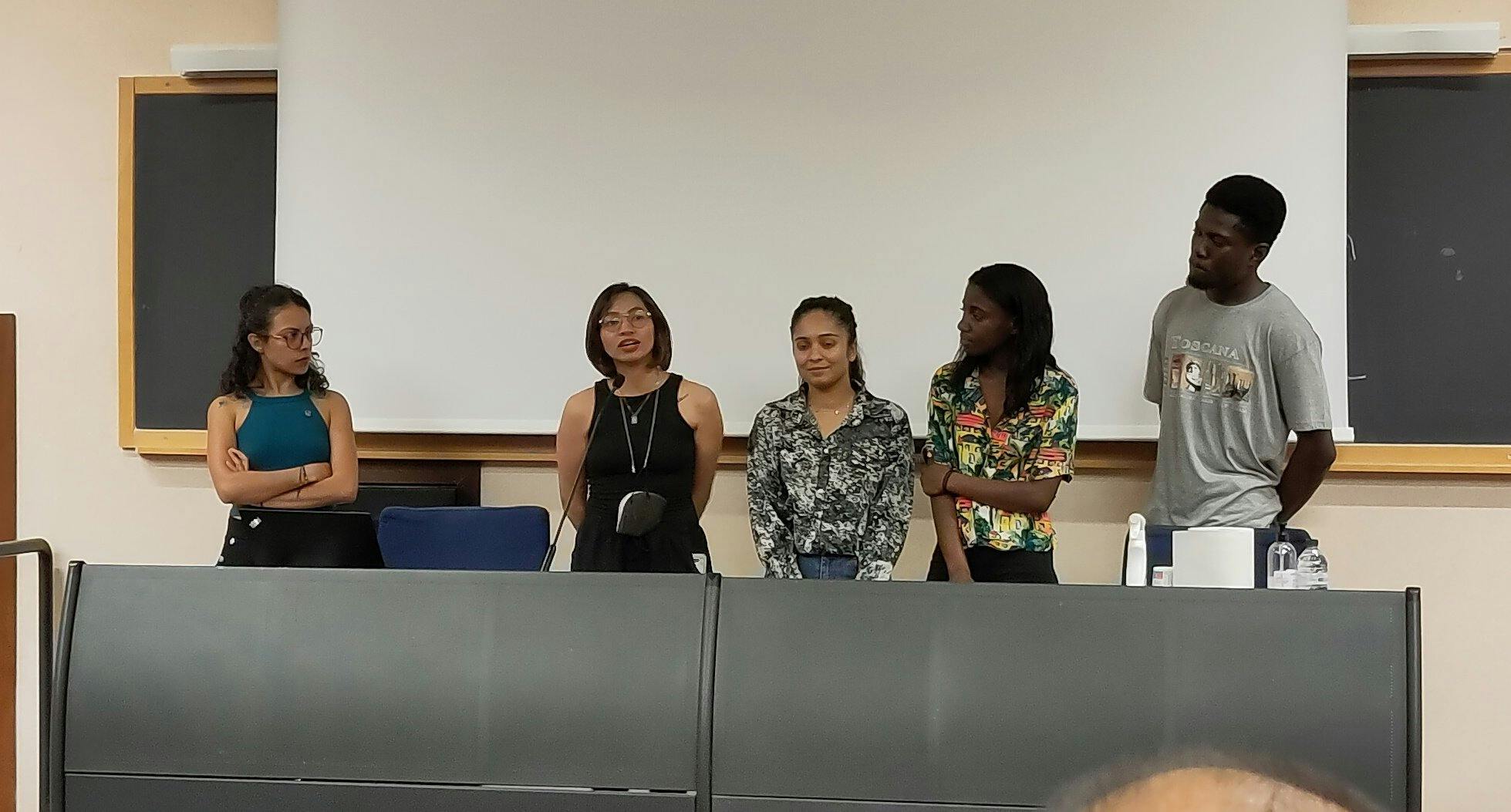
The webinar on community building activities focused less on the technical aspects of mapping on OSM but on building inclusive and more diverse communities. Thanks to Arnalie and Geoffrey for providing invaluable insights and a specialized take on building inclusive and diverse communities and nurturing young mappers and volunteers. This is an important topic, especially for the new chapters established in the Philippines.
-
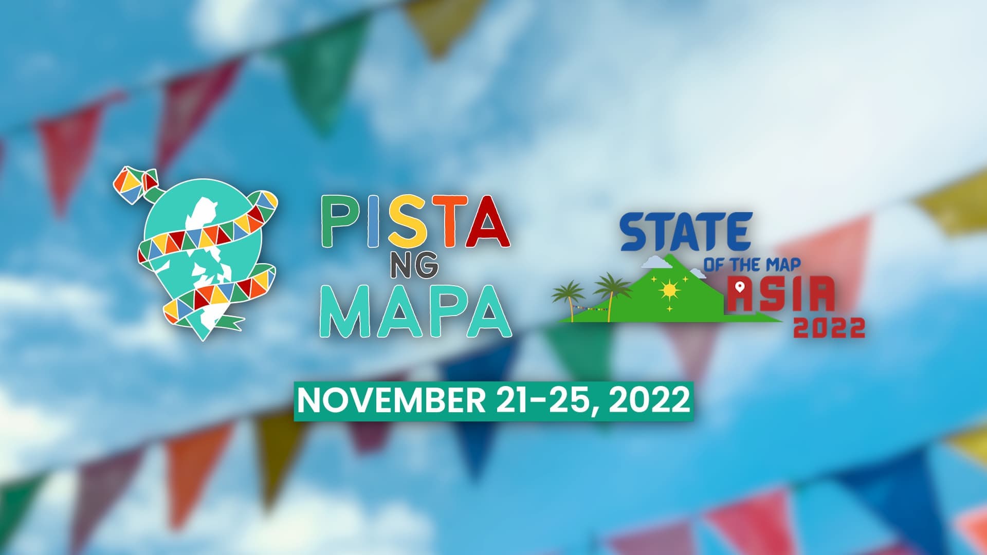
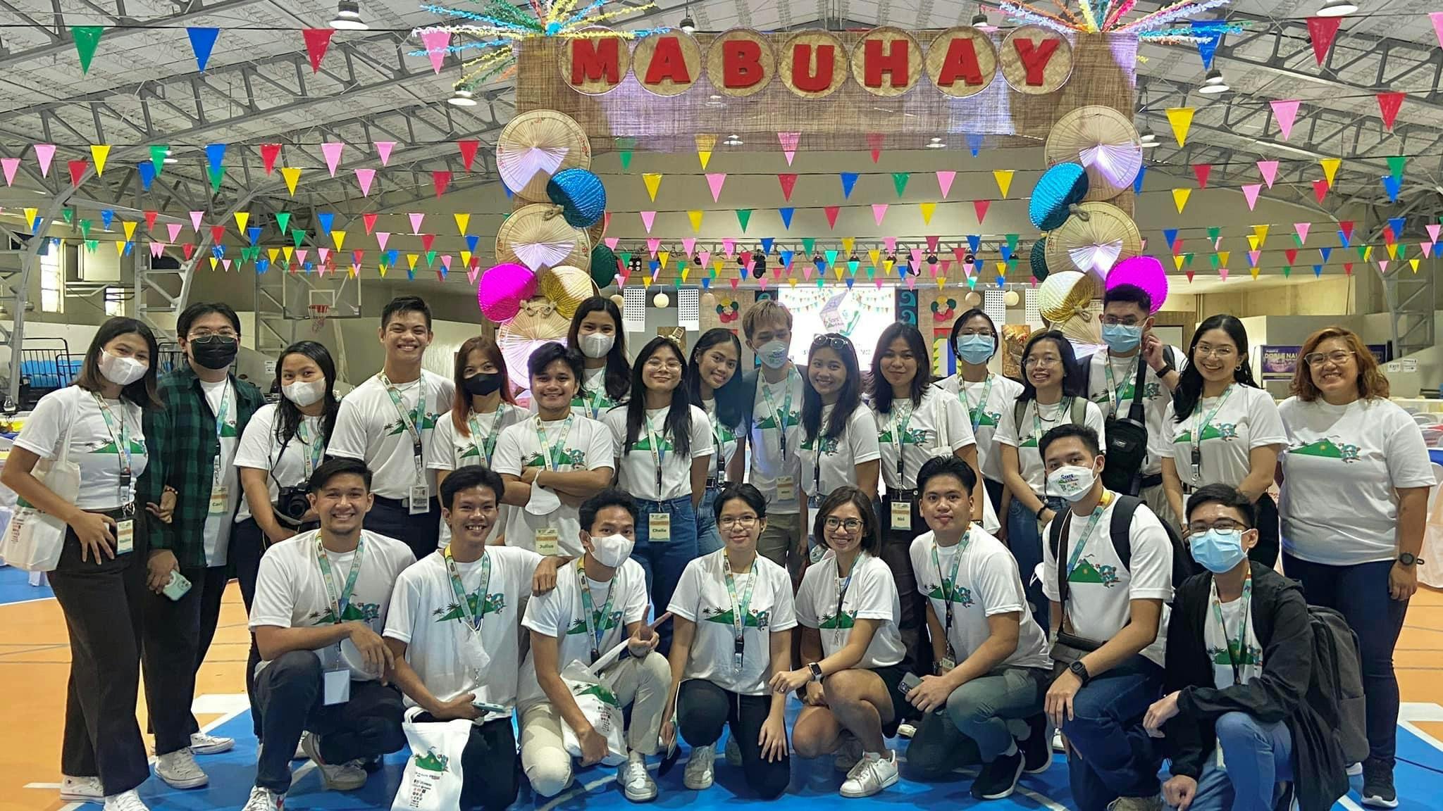
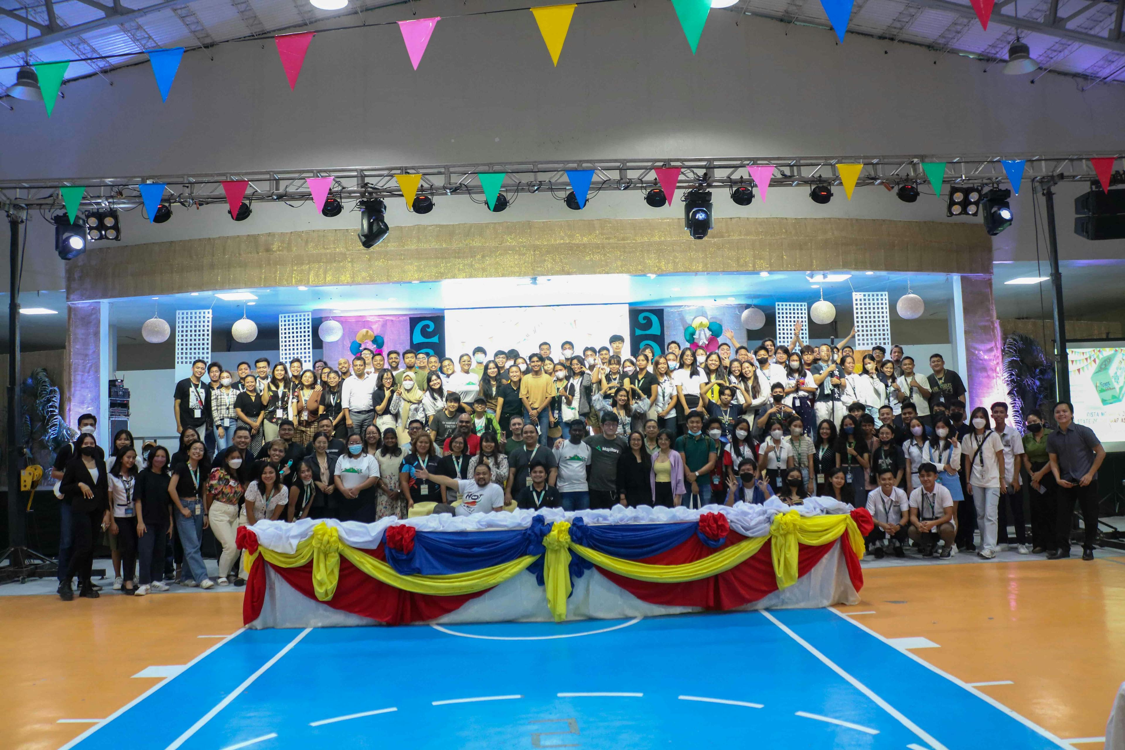
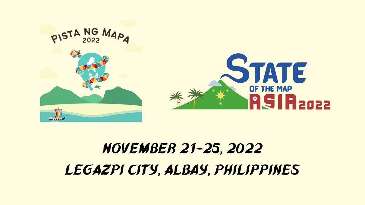
A huge shout out to the local YouthMappers chapter from Bicol University for taking on the challenge of being the university partner for the largest Pista ng Mapa and State of the Map Asia ever. Together with our university partner, the Geodetic Engineers of the Philippines, Inc. of Bicol University, we were able to host the second face-to-face Pista ng Mapa in Legazpi City, Albay, which was attended by 250+ local and international delegates from Asia and the Pacific.
-
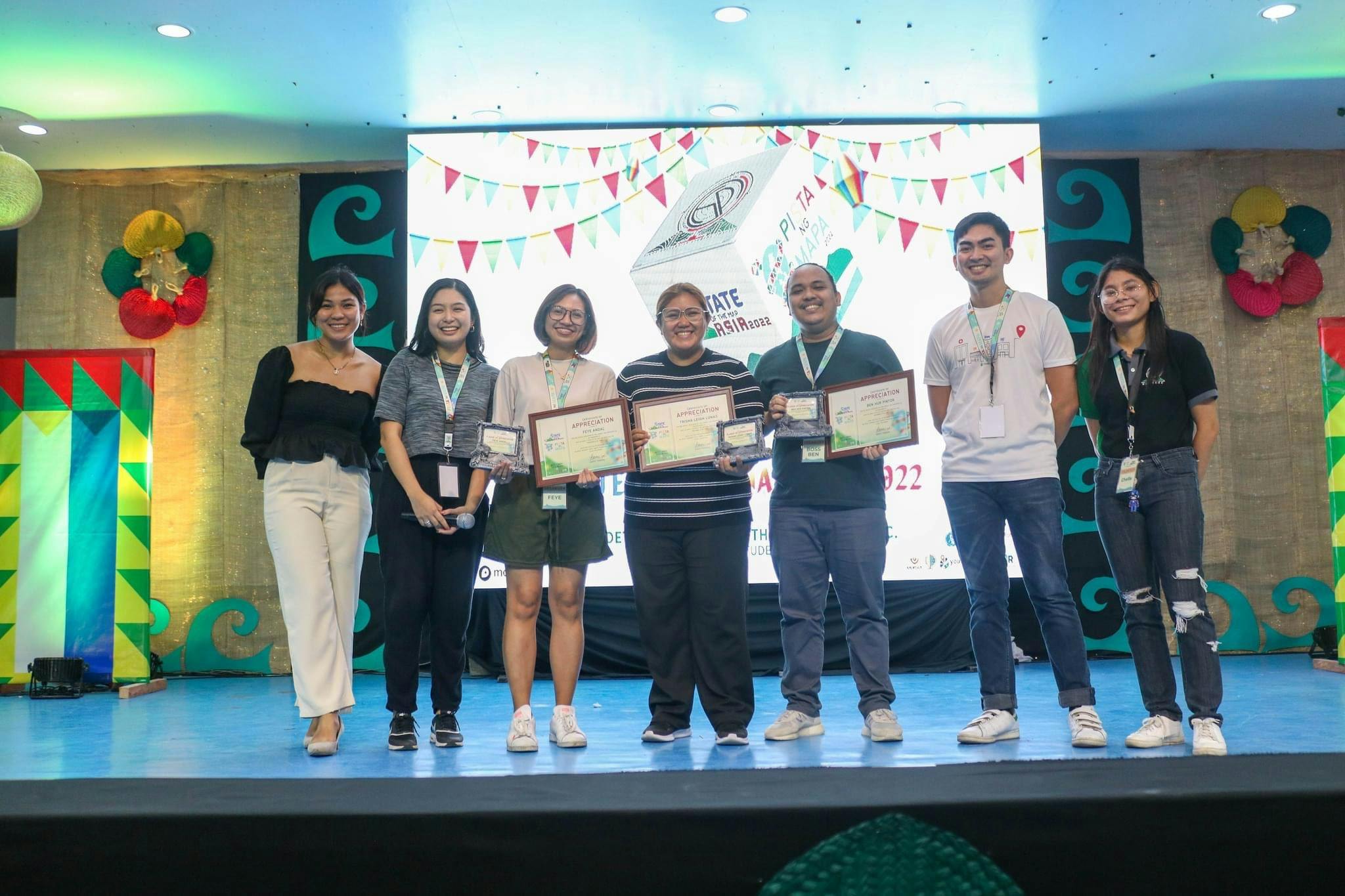
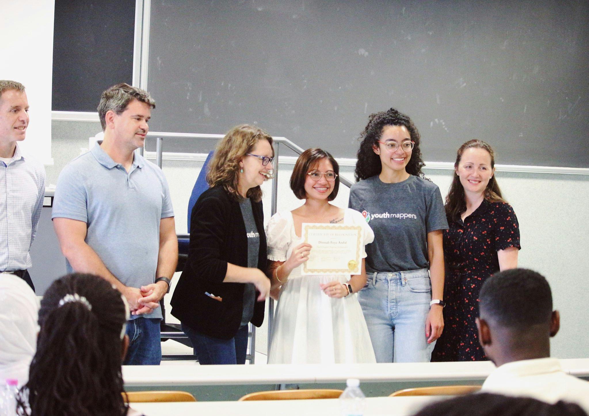
Several local YouthMappers received the PH 2022 YouthMappers Award at Pista ng Mapa 2022 and State of the Map Asia 2022 held last November 21-25, 2022, at Bicol University East Campus. The award was given to various local chapters for their distinguished and invaluable contribution to OpenStreetMap and open mapping for the year 2022. Among the chapters awarded were UP Resilience Institute Youth Mappers, Junior Philippine Computer Society of FEU Institute of Technology and FEU Alabang, USTP-AGES, Viscan YouthMappers, and UP Tacloban YouthMappers. Check out the individual chapters’ respective Facebook pages and learn about their amazing work. 👏👏👏
-
I also admire the alumni of YouthMappers who eventually became active members of the OSM community. The notable alumni become regular attendees in the activities of the local OSM community such as mapathons and mapping parties. They also volunteer and participate in the annual Pista ng Mapa. 🫡
-
We co-wrote a chapter to the first-ever book of YouthMappers under SpringerGeo. In this book, you will discover the journeys and hear the voices of the global network of student mappers/volunteers on open mapping toward Sustainable Development Goals. We highlighted the contributions of the Asian YouthMappers to building resilient communities toward SDG 3 (Health) and 13 (Climate Action) in Chapter 7. 📖
But just like any other community, the chapters also have shared experiences and challenges. Not all chapters have equal access to the right technologies and reliable internet connection, and shifting to virtual learning also created some friction in conducting capacity-building activities. While we adapted to virtual mapathons, most of the chapters still prefer face-to-face activities, as this is still the best mode of guided learning for the participants.
I also want to reiterate that it is important to recognize the efforts of our young mappers as they still participate and implement activities despite the challenges they experience. Given the time and effort they spent contributing to the growth of map data and the community, it is only proper to affirm their participation in the community. This is important to sustain the chapters in staying active in the local OSM community and the YouthMappers network.
Next year, the local chapters hope to conduct more inter-chapter collaboration, expand the community of mappers in their respective regions, and develop their chapter’s core competencies.
These initiatives, programs, and behavior-change are testaments that young mappers are not the next generation of mappers or the leaders of the future, but young mappers are the leaders of TODAY. 🤩🥳


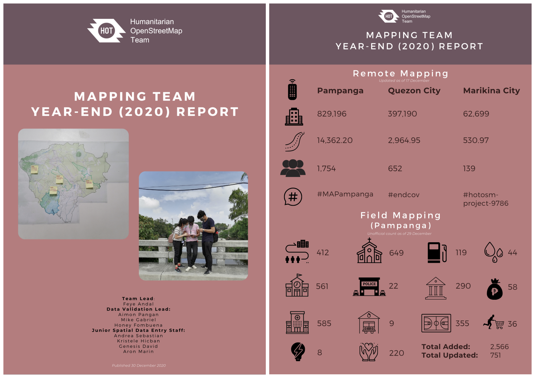
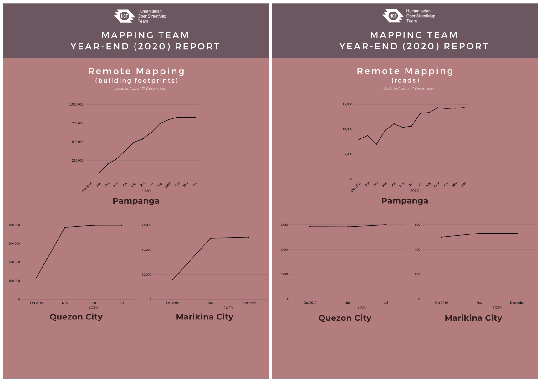
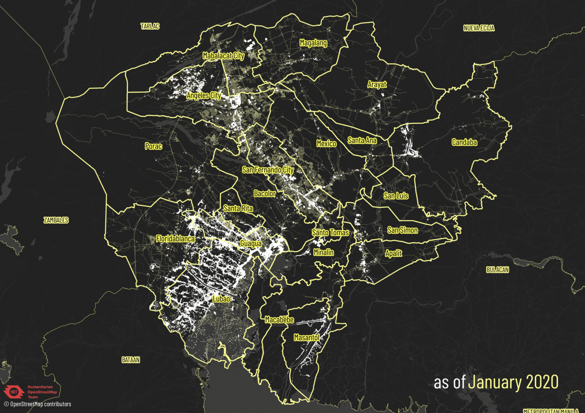 OSM building footprints and roads in Pampanga from January to September 2020
 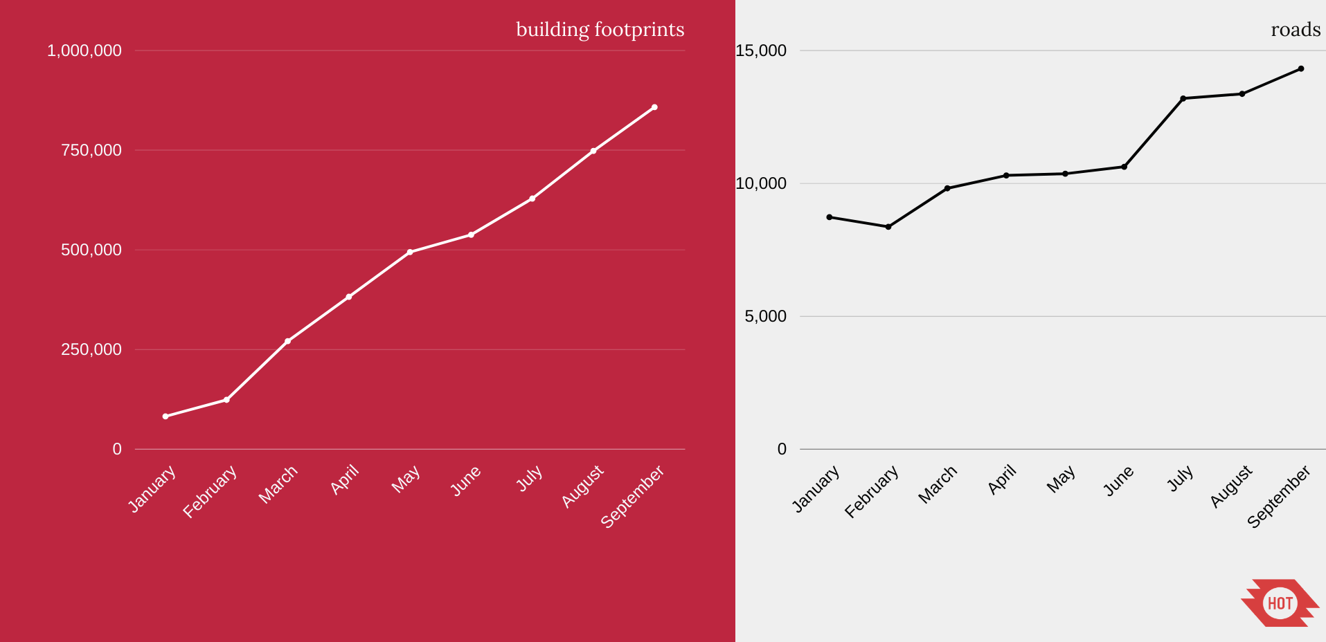 Building footprint count and road length (in sq.km.) in Pampanga from January to September 2020
 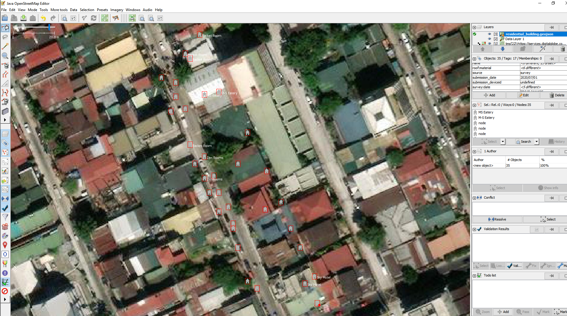 Sample houses data opened in JOSM
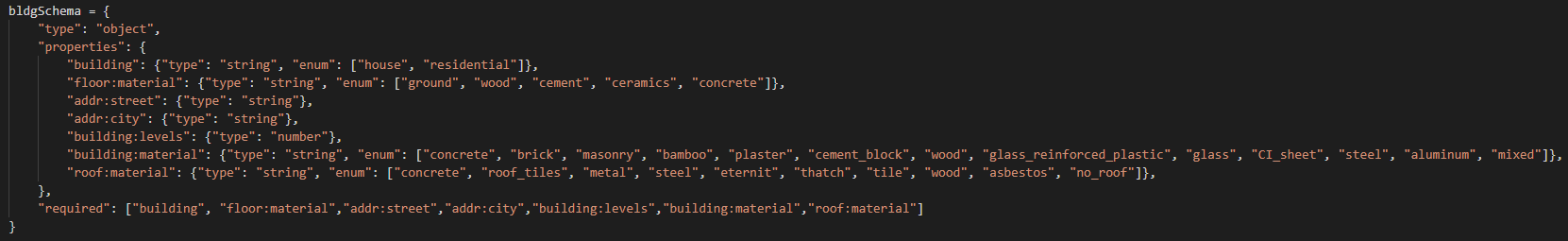 Sample schema (groups of tags) I set to assess the completeness of the input file
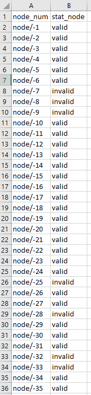 Sample output from the script: indicating which objects are valid or invalid
 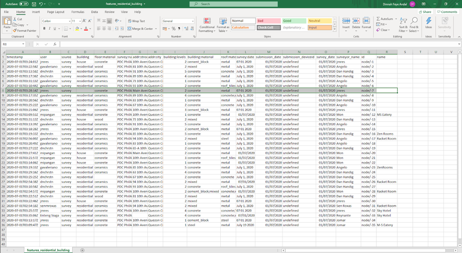 Node 7 tagged as invalid
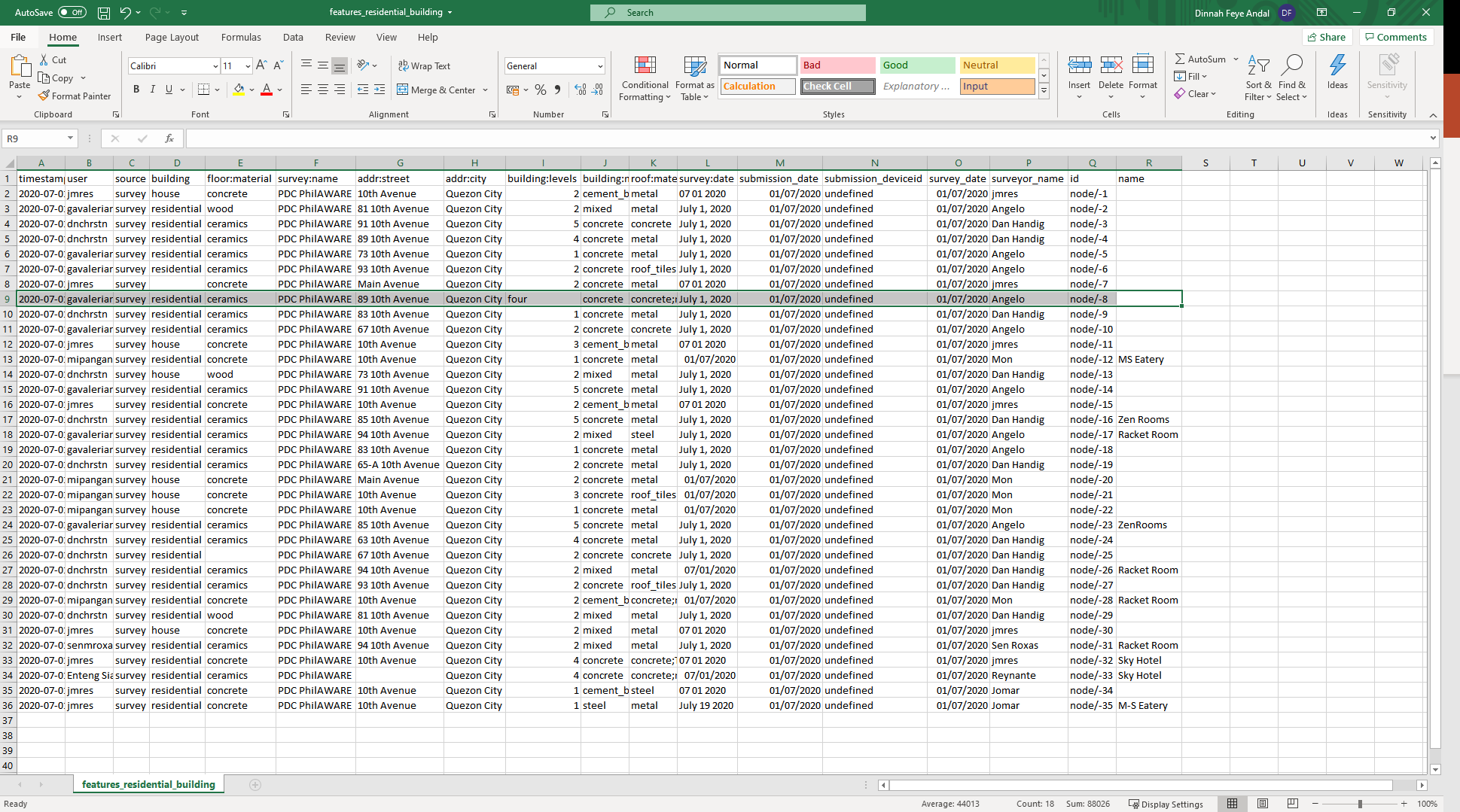 Node 8 tagged as invalid
 I was one of the ten travel grant awardees under the OSGeo Travel Grant Programme (TGP). Through the financial support from
 This, perhaps, was one of my favorite sessions. Alex Cohn discussed the reasons why their organization made a transition from using ArcGIS to QGIS and explained the impacts of this transition on their everyday operations for two years.
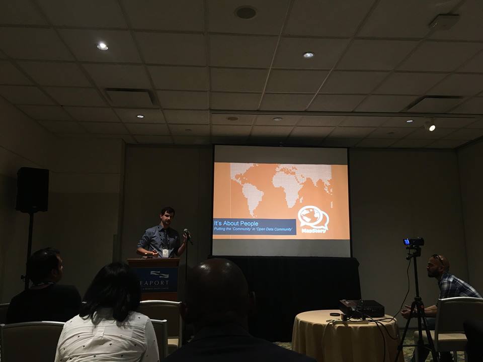 This session was basically focused on solutions and challenges to empowering collaboration within the community using the MapStory project. MapStory is a free and open-source platform for crowd-sourcing global spaciotemporal data. Since it is a participation-focused open data platform, it emphasizes and revolves around the contribution of the global community.
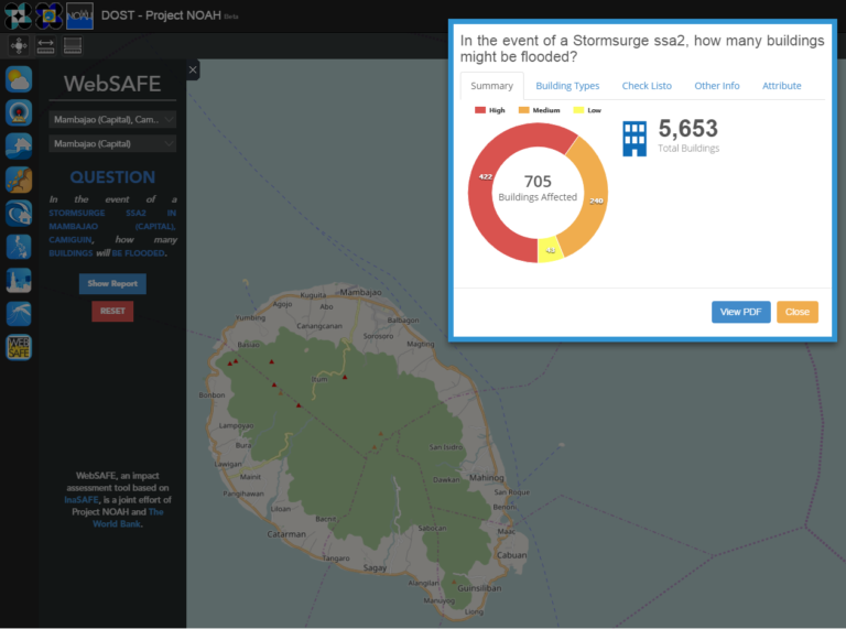 WebSAFE feature on the
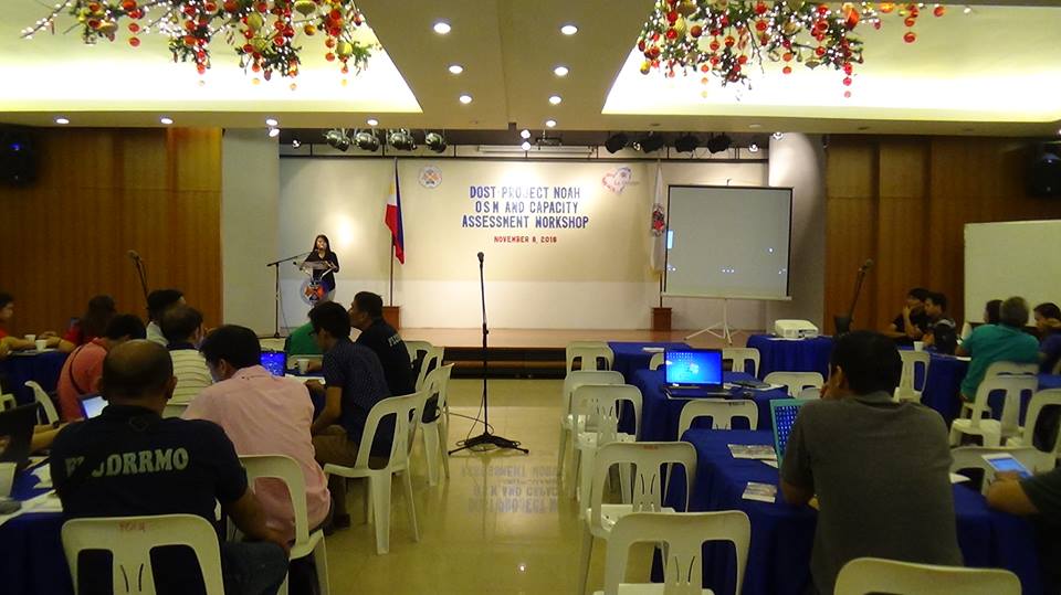
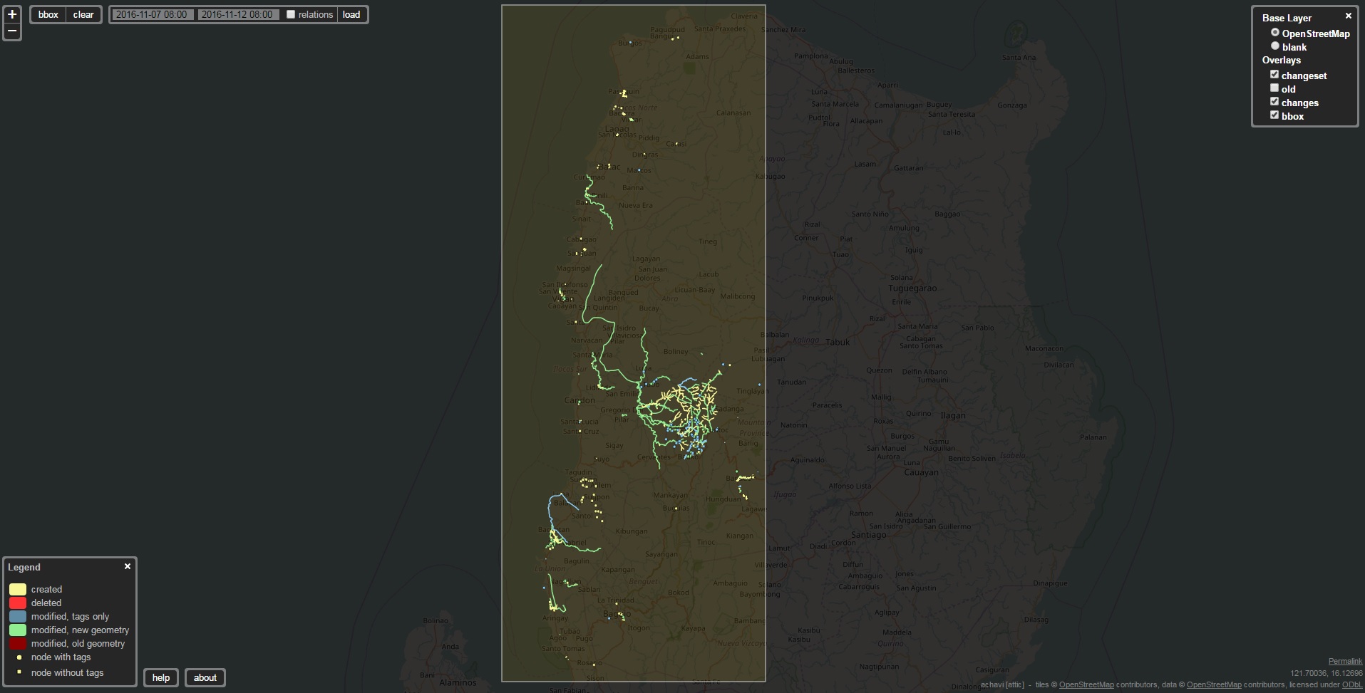 The image shows the edits of the workshop participants from Ilocos Norte, Ilocos Sur, and La Union in their respective provinces on the workshop dates.
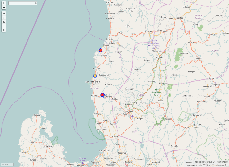 During the workshop in La Union, 67 points of interests (POIs), 2 lines, and 21 polygons were added. The edits are mostly in their hometowns and their neighborhoods.
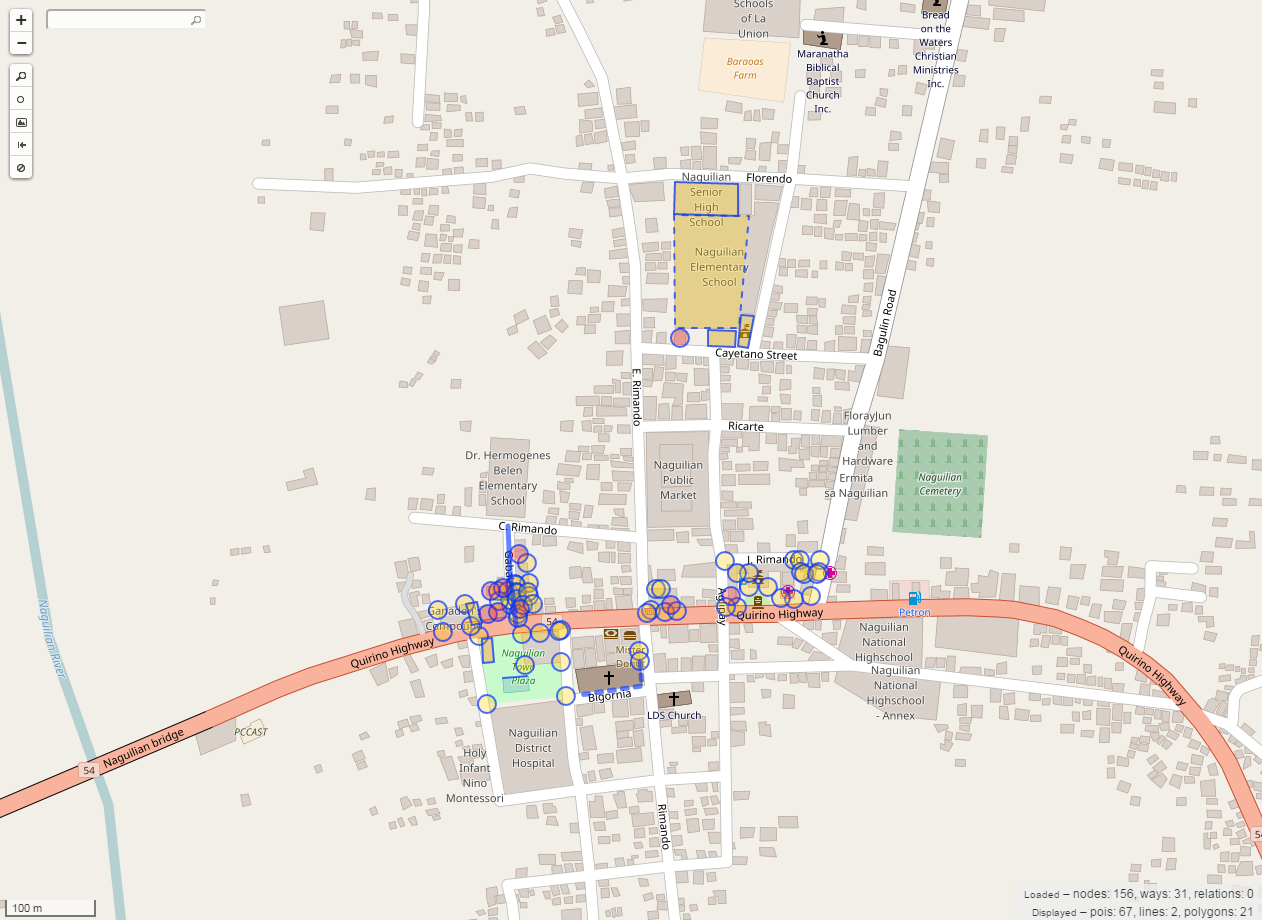 The highlighted objects are the new features that were digitized in Naguilinan, La Union by the workshop participants.
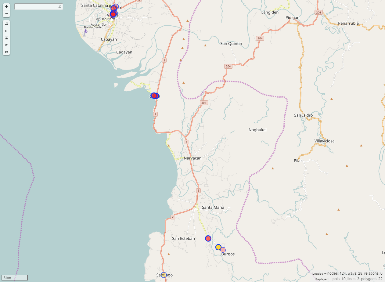 The workshop participants from Ilocos Sur added 10 points of interests (POIs), 3 lines, and 22 polygons in their province, particularly Vigan, Santa, and Burgos.
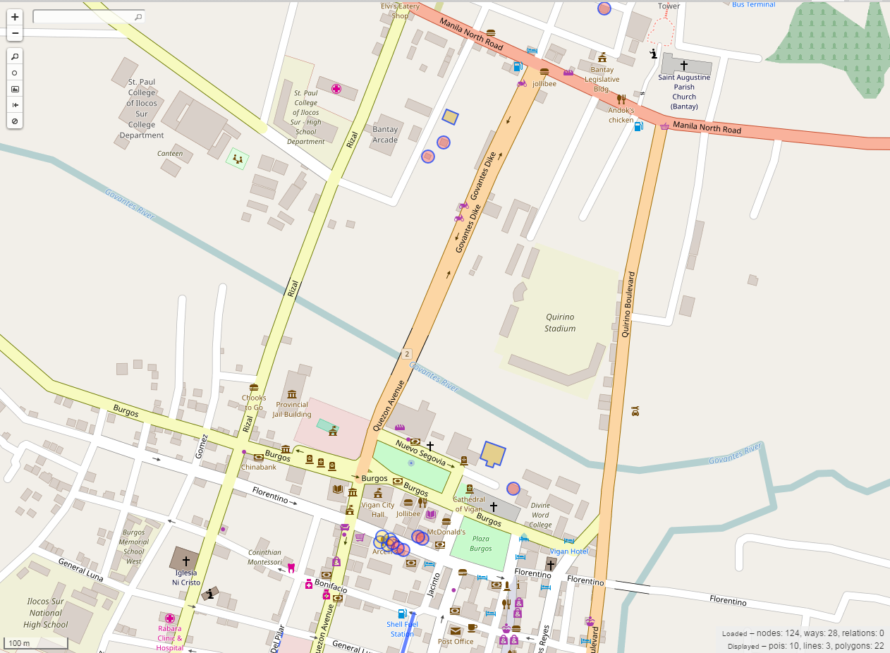 The highlighted objects are the newly added features in Vigan, Ilocos Sur.
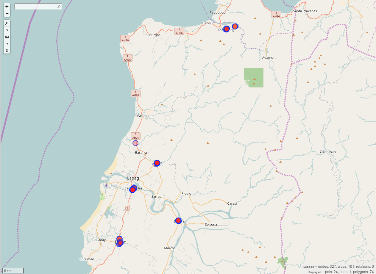 The workshop participants were able to add 24 points of interests, 1 line and 74 polygons in Ilocos Norte, particularly Dumalneg, Bacarra, San Nicolas, Batac and Dingras.
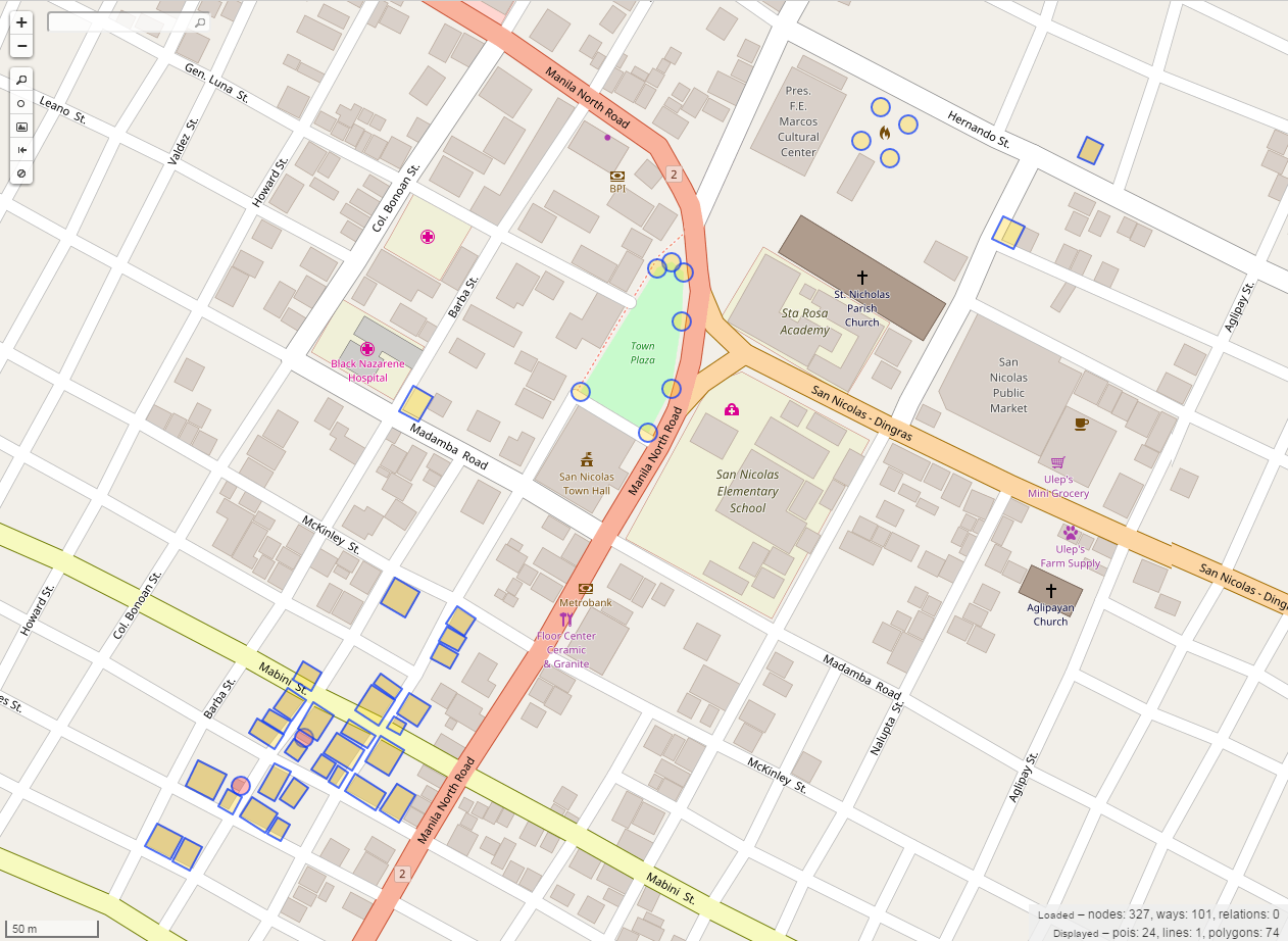 The highlighted objects show the features that were added by the participants in San Nicolas, Ilocos Norte.
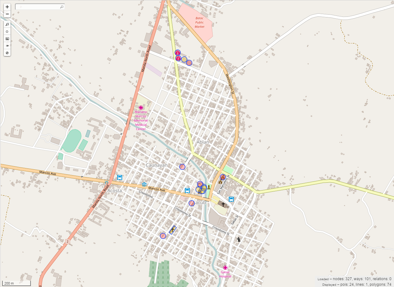 The highlighted objects are the features that were digitized by the participants in Batac, Ilocos Norte.
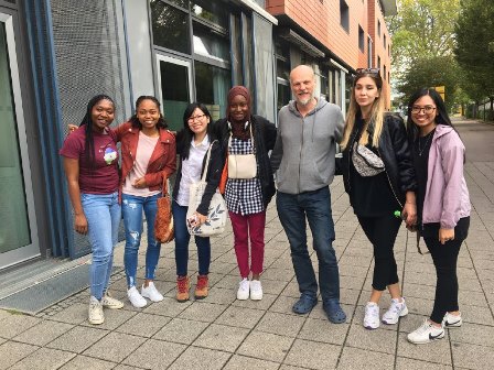
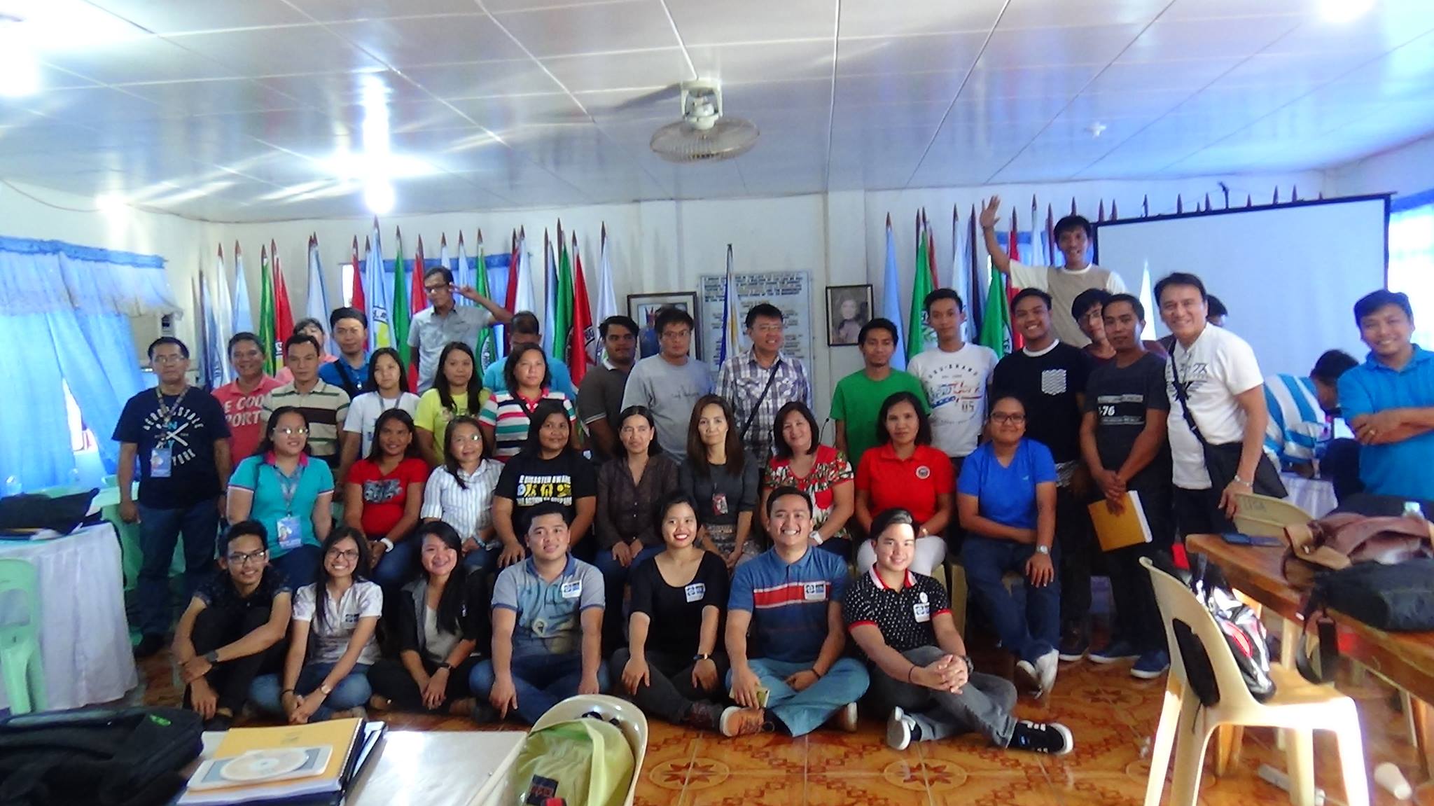
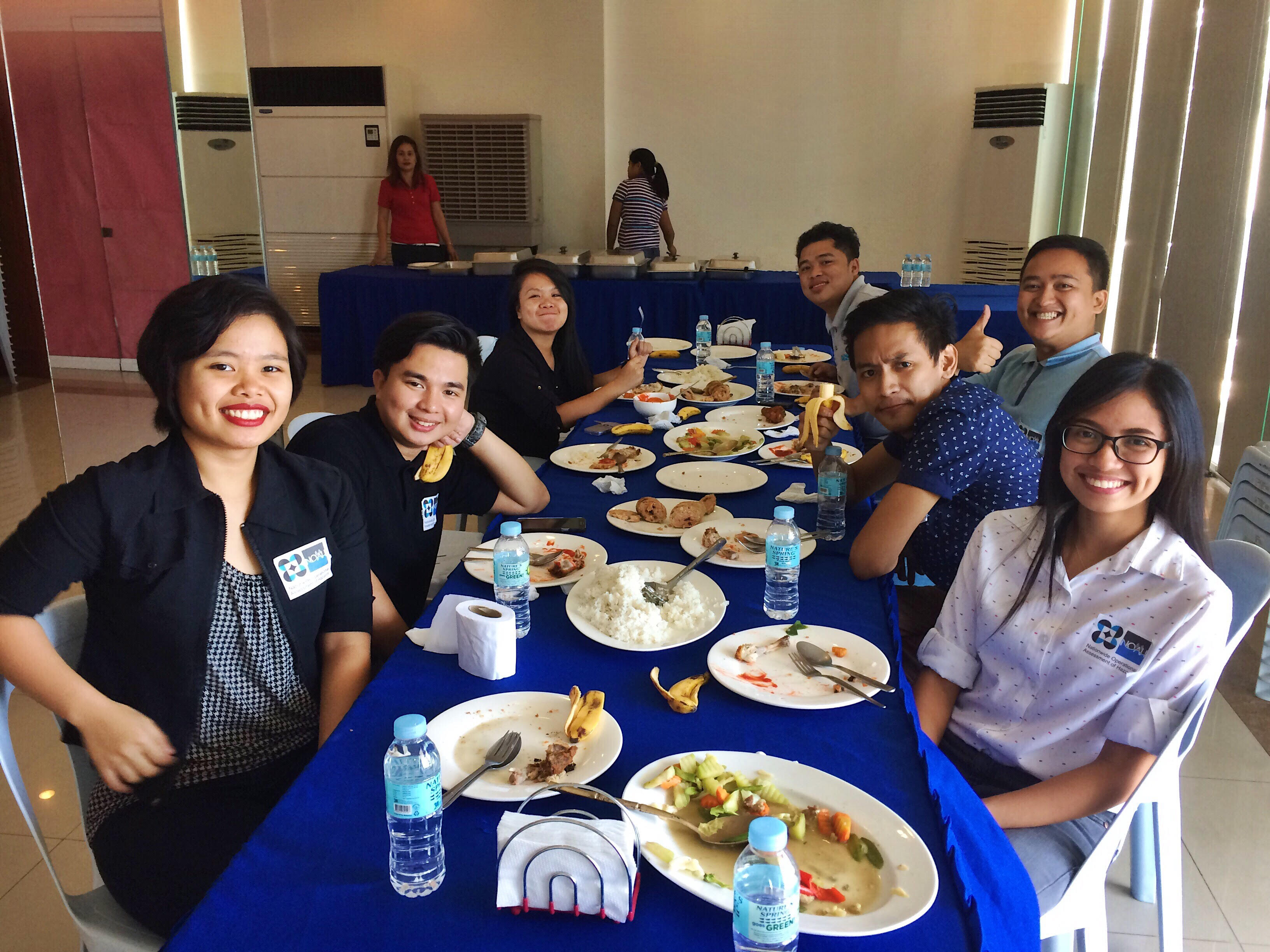 From left to right: @arnalielsewhere, @wherehavejobyn, @neyziellexrrc_, @Joems Manong, @BakiRamos, @cloud5, @feyeandal


