
Kimsiniz?
Lisans eğitimi inşaat mühendisliği, lisansüstü eğitimi de harita mühendisliği/geomatik olan bir üniversite öğretim üyesiyim. Aynı zamanda da, Openstreetmap’i öğrenip Dünya çapındaki milyonlarca kişiyle birlikte harita altlığını geliştirmek ve insani amaçlarla kullanmak isteyen herkese yardım etmeyi amaçlayan Yer Çizenler Herkes İçin Haritacılık Derneği kurucu üyesi ve yönetim kurulu başkanıyım. HOT (Humanitarian Openstreetmap Team) tarafından yürütülen “Crowdsourcing Non-Camp Refugee Data Through OpenStreetMap” projesinin Yer Çizenler ile ortaklaşa yürütülen Türkiye ayağı süresince de HOT Türkiye koordinatörlüğü görevini üstlendim.
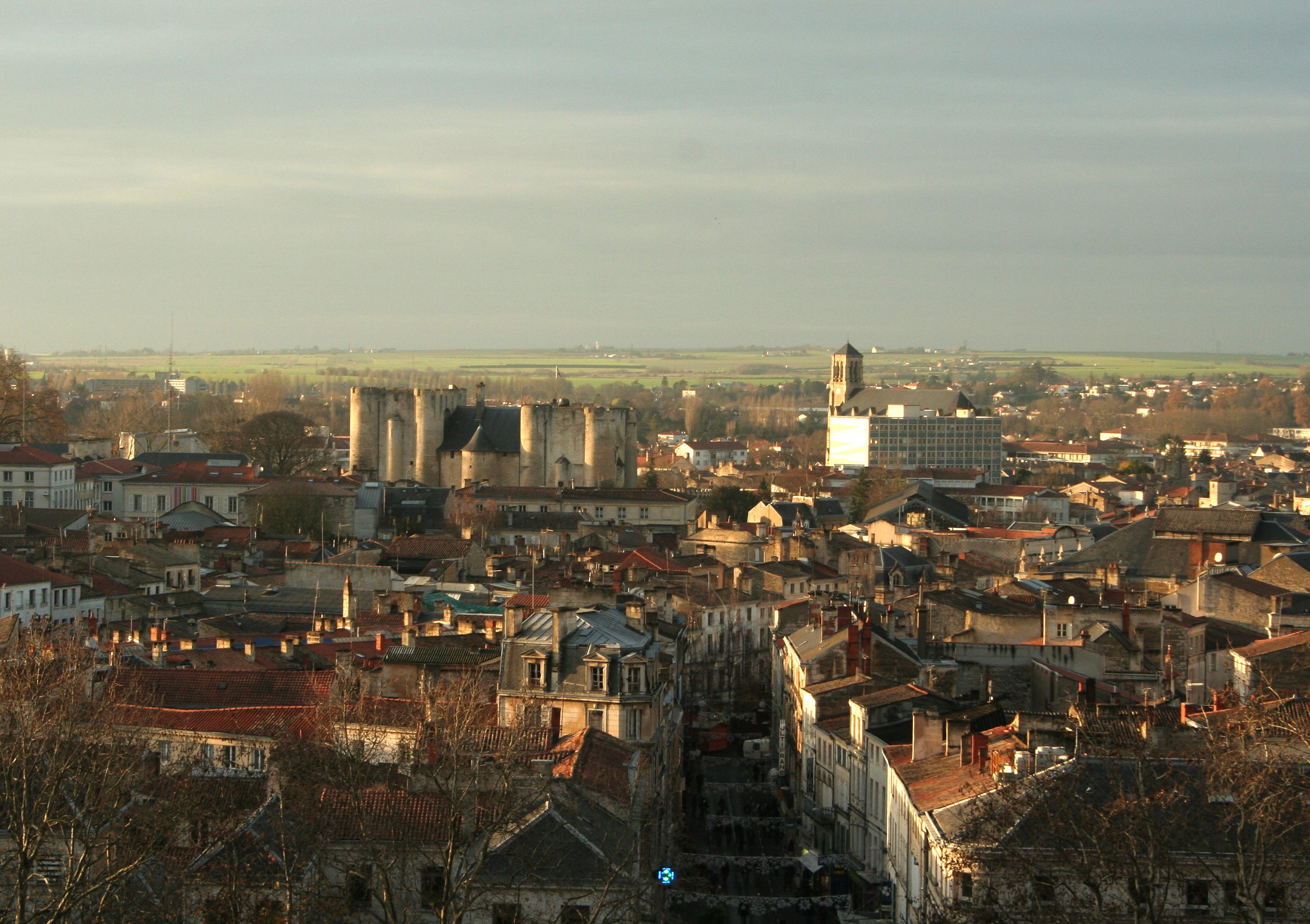
 Sınır Tanımayan Doktorlar ile düzenlenen Missing Maps mapathonu
Zaman zaman yeni hobiler edinip, bir süre ilgilendikten sonra bırakmak ve devam edeceğime dair kendimi kandırmak gibi bir hobiye sahibim. Yelkensiz gemi maketimi görmeniz lazım. Dört yıldır düzenli olarak motosiklet kullanıyorum ve üç yıldır da evde kendi biramı yapıyorum. Sanırım bu ikisinden hobilerim olarak bahsedebilirim.
OpenStreetMap’i ne zaman ve nasıl keşfettiniz?
2012’de İstanbul Teknik Üniversitesi’nde araştırma görevlisiyken, özgür yazılım ve açık kaynak hareketlerini takip eden yakın bir arkadaşım sayesinde keşfettim. Bana bu çevrimiçi, kitle kaynaklı ve herkesin katkı ve kullanımına açık haritayı gösterdi. Hemen değilse bile zaman içinde ilgim arttı.
Neleri haritalıyorsunuz? Erken zamanlarınızla arada fark var mı?
İlk zamanlarda haritada nadiren düzenlemeler yapıyordum ve yaşadığım ve çalıştığım bölgelerde aklıma geldikçe düzenlemeler yapıyordum. Etiketlemeden çok eksik geometrik altlığı tamamlamaya yönelik düzenlemeler yapıyordum. Artık kendimi daha olgun ve tecrübeli bir haritacı olarak görüyorum ve zaman zaman bazı objeleri nasıl etiketlemem gerektiği hakkında hiçbir fikrim olmadığını ya da bana mantıklı gelen etiketleme yönteminin genel uygulamayla örtüşmeyebileceğini itiraf edebiliyorum. Artık her şüpheye düşüşümde Wiki’ye bakıyorum ve tüm OSM kullanıcılarına, doğru düzenlemeler yaptıklarından emin olmaları adına aynı şeyi yapmalarını tavsiye ediyorum.
 Böyle yapmayın.
Hangi yöntemleri kullanıyorsunuz? Saha çalışması yapıyor musunuz? SAndalye haritacısı mısınız?
Hangi araçları kullanıyorsunuz (GPS, Uygulamalar, Düzenleyiciler, kalite kontrol siteleri)?
Saha çalışmalarınızı nasıl organize ediyorsunuz?
Hem sandalye haritacılığı hem de sahada veri toplama yöntemlerini kullanıyorum. Türkiye verisinde hala çok büyük eksiklikler var, bu yüzden de her zaman sayısallaştırılmayı bekleyen bina ve yollar, düzenlenmeyi bekleyen geometriler bulunuyor. Sahada gündelik düzenlemeler için Andriod cihazımda StreetComplete kullanarak isimsiz cadde ve sokakları etiketliyorum. Yer Çizenler’in saha çalışmaları içinse OpenDataKit, OpenMapKit ve Field Papers gibi araçları kullandık.
Ek olarak son aylarda Mapillary üzerinden sokak görüntüleri toplamakla ilgileniyorum. Bu ilgi, saha çalışmalarında toplanan verilerin kalite ve doğruluk kontrolünün daha etkin bir biçimde yapılabilmesi için yeni yollar aramamızla başladı. Başlangıçta uygulamaya alışmak ve özelliklerini öğrenebilmek için telefonumu alıp sokağa çıktım ve ofisimiz çevresinde dolaştım. Daha sonra da motosikletime monte ettiğim bir aksiyon kamera ve ve telefonuma yüklediğim bir GPX kaydedici ile saha çalışması yaptığımız bölgelerin caddelerini dolaştım.
 Vroom vroom
Şimdi de sokak görüntüsü üzerinden veri üretim ve doğrulama yöntemini gelecekteki çalışmalarımızda kullanarak sahada geçecek zamanı büyük oranda düşürmeyi planlıyoruz. Toplanan görüntüler, daha deneyimli haritacılar tarafından sayısallaştırılacak, veri kontrol ve doğrulama işlemleri hızlı ve etkin bir biçimde gerçekleşecek, ve yan ürün olarak da çalıştığımız bölgelerin güncel ve yüksek çözünürlüklü sokak görüntüleri kullanıcılarla paylaşılmış olacak.
Nereleri haritalıyorsunuz? Yaşadığınız bölgeyi mi, HOT projelerini mi?
Yaşadığım yerdeki HOT projelerini… :)
Bir haritacı olarak en büyük başarınız nedir?
Kişisel olarak en büyük edinimimi, geomatik (harita mühendisliği) alanındaki doktora derecem olarak görüyorum. OSM camiasına yaptığım katkı olarak düşünürsek de, henüz o başarının gerçekleşmediğini düşünüyorum.
Yer Çizenler olarak Türkiye’deki OSM kullanıcı topluluğunun büyümesine katkı vermeyi, ülke verisinin iyileştirilmesine katkı vermeyi ve STK’ların sosyal ve insani çalışmalarında ve kurumlar arası iletişimde özgür coğrafi veri kullanımını yaygınlaştırmayı hedefliyoruz. Eğer bunlar gerçekleşir ve Türkiye’deki OSM kullanıcıları Yer Çizenler veya benzeri bir tüzel kişilik etrafında toplanabilirse, o zaman başarılardan söz edebiliriz sanırım.
Neden haritalıyorsunuz? Sizi motive eden ne?
Haritalar ve coğrafi veri ile uğraşmaktan hoşuma gidiyor. Bulunduğum bölgelerin haritalarını zihnimde çizip gezinmeyi ve görselleştirmeyi seviyorum. Bu tarz dünyevi işleri genelde seviyorum. Pek fazla sorgulamadım.
Haritalamanın en zor yanı nedir?
İstanbul özelinde konuşursam, geometriyi çizecek güvenilir uydu görüntüleri kullanamamak diyebilirim. Bütün şehir, sürekli değişen bir şantiye sahası olduğundan pek çok uydu görüntüsü katmanı güncelliğini kaybetmiş durumda. Nispeten güncel olan görüntülerin de çözünürlükleri çoğu yer için yetersiz kalıyor. İstanbul’u haritalayan kullanıcılar olarak bu bizim için büyük bir eksiklik.
Kişisel olarak yaşadığım bir diğer zorluksa mevcut verideki yanlış etiketlemeler. Tecrübesiz kullanıcıların bazıları özgüven yüksekliği nedeniyle, bazıları da topluluk veri standartlarını umursamamaktan dolayı çok yaratıcı düzenlemeler yapabiliyorlar. Bazen gündelik düzenlemelerimde, bazen de Yer Çizenler ile birlikte yaptığım veri doğrulama çalışmalarında bunlar karşıma küçük maceralar olarak çıkabiliyorlar. Çoğu zaman kendimi bu yanlışları düzeltmek zorunda hissetmemden dolayı da asıl yapmam gereken işin gecikmesine neden olabiliyorlar.
Yakın zaman için haritalamayla ilgili planlarınız nedir?
Diğer üniversitelerdeki meslektaşlarımın ve hocalarımın da destekleriyle Yer Çizenler’in üniversite öğrencilerine erişmesini ve bu genç ve donanımlı insanların OSM Türkiye topluluğunu genişleterek akademide Openstreetmap özelinde özgür coğrafi veri üretim ve kullanımının yaygınlaşmasını planlıyorum. Ek olarak, en az bir katmanın (tercihen yol ağı) tam ve doğru olarak Openstreetmap’e aktarılmasını hedefliyoruz ki bu, Türkiye’de Openstreetmap kullanımını ciddi anlamda artıracaktır.
Openstreetmap’i kendi işinizde kullanıyor musunuz? Nasıl?
Üniversitede coğrafi bilgi sistemleri ve geomatik üzerine dersler veriyorum ve öğrencilerimden dönem projelerinde OSM kullanıcı kaydı oluşturarak istedikleri bölgelerde haritaya katkıda bulunmalarını istiyorum. Bu yer memleketleri, yaşadıkları yer ya da HOT tasklarından biri olabilir. Dönem sonuna kadar yaptıkları katkıları takip ediyorum ve dönem sonunda da proje notlarını yaptıkları katkıya göre belirliyorum. Bu süre içinde ben de çalışıyor ve kendi performansımı öğrencilerle karşılaştırıyorum ve benden daha çok düzenleme yapan öğrenciler projeden tam not alıyorlar. Çıtayı çok yüksek tutmuyorum, valla.
Openstreetmap ile ilgili, haritalama dışında bir şey yapıyor musunuz?
OSM’i savunuyor ve kişi ve kurumları VGI (Volunteered geographic information - gönüllü coğrafi bilgi), OSM ve özgür veri kullanımının güzelliklerine ikna etmeye çalışıyorum. Halihazırda herkesin erişebildiği ve aradığı bilgiye kolayca erişebildiği sayısal harita servisleri (Google, Yandex, Apple vb.) olan bir şehirde destekçi bulmak oldukça zor oluyor. Bu yüzden yukarıda bahsettiğim yol ağı gibi bir katmanın tam ve doğru bir biçimde üretilmesi OSM kullanımını teşvik edip hızlandıracaktır diye umuyorum.
Son olarak, söylemek istediğiniz başka bir şey var mı?
Wiki’yi kontrol edin.
 ## OpenStreetMap’i ne zaman ve nasıl keşfettiniz?
OpenStreetMap’i 2017 Dünya İnsani Yardım Günü’nde bir haritalama etkinliğinde keşfettim. Sınır Tanımayan Doktorlar (MSF) ve HOT, İstanbul’da bir Missing Maps Mapathon düzenledi. Bu değerli organizasyon ve beni organizasyondan haberdar eden kıymetli arkadaşım sayesinde bu özel günde OpenStreetMap’i keşfetmiş oldum.
## OpenStreetMap’i ne zaman ve nasıl keşfettiniz?
OpenStreetMap’i 2017 Dünya İnsani Yardım Günü’nde bir haritalama etkinliğinde keşfettim. Sınır Tanımayan Doktorlar (MSF) ve HOT, İstanbul’da bir Missing Maps Mapathon düzenledi. Bu değerli organizasyon ve beni organizasyondan haberdar eden kıymetli arkadaşım sayesinde bu özel günde OpenStreetMap’i keşfetmiş oldum.


 Map: Mapillary, OpenStreetMap contributors. Elevation data: Kokudochiriin. Renderer: Kashmir.
 Map: OpenStreetMap contributors. Data mining: Overpass API.
 Map: OpenStreetMap contributors. App: QGIS
 Mapping party @

 京都の二条城 on historic.place


 ## Quel est votre plus grande réussite en tant que cartographe ?
Finalement importer les édifices et les addresses dans OSM pour la région d’Ottawa/Gatineau et nettoyant les données. Aussi cartographier Fort McMurray pendant le feu de forêt.
## Quel est votre plus grande réussite en tant que cartographe ?
Finalement importer les édifices et les addresses dans OSM pour la région d’Ottawa/Gatineau et nettoyant les données. Aussi cartographier Fort McMurray pendant le feu de forêt.


 BENELUX Preset for monuments protected by Onroerend Erfgoed
 HistOSM, all data (c) OpenStreetMap Contributors
 Historic Places, all data (c) OpenStreetMap Contributors. Topographical Map Vandermaelen.
 The Sint-Pieterskerk in Rumst as seen on the Reasonator website with data from Wikidata
 Overpass UI showing the item with Wikidata identifier Q28464643
 A time line of churches in Belgium
 Architectural Styles used in Belgian churches
 Combining Wikidata and OpenStreetMap
 Jeffdelonge (Own Work) [GFDL (
 Burkina Faso in OSM Boundaries


 Sus est mon alias ordinateur, le “ç” de François ne m’a causé que des ennuis au début des PC’s. Né en 1933 ( comptez vous-mêmes ) en région bruxelloise, j’ai émigré à
  Pour mapper, je ne quitte plus mon fauteuil. Comme éditeur, j’emploie