OpenStreetMap

Niels Elgaard Larsen's Diary

Recent diary entries

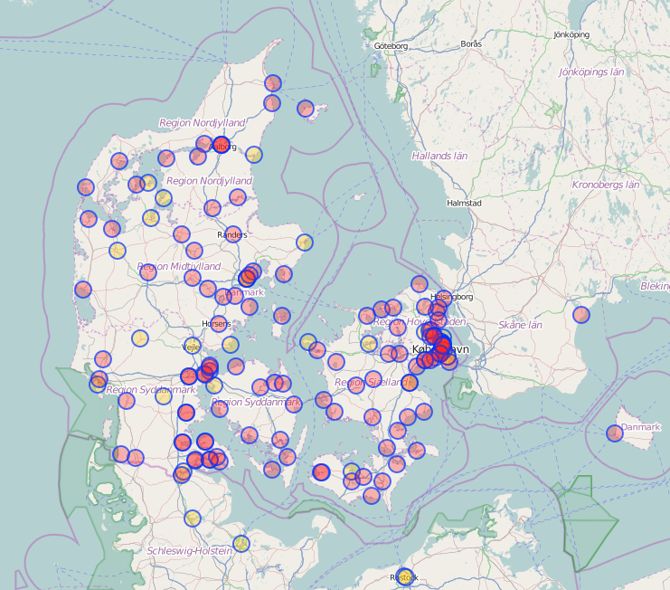
I have been checking all Danish motorway,trunk,primary,secondary, and tertiary roads without a maxspeed tag using geotagged photos (Mapillary, Kartaview, Bing). The maxspeed status now is (distances in km):

Maxspeed stats

  • motorway :: missing maxspeed: 0 , total: 2586 , pct with maxspeed: 100.0
  • trunk :: missing maxspeed: 0 , total: 502 , pct with maxspeed: 100.0
  • primary :: missing maxspeed: 0 , total: 2771 , pct with maxspeed: 100.0
  • secondary :: missing maxspeed: 10 , total: 6531 , pct with maxspeed: 99.85
  • tertiary :: missing maxspeed: 5421 , total: 23739 , pct with maxspeed: 77.16
  • unclassified :: missing maxspeed: 24821 , total: 32060 , pct with maxspeed: 22.58
  • residential :: missing maxspeed: 20866 , total: 27987 , pct with maxspeed: 25.45

I believe this is really good. Most routing decision will have almost optimal data. Even if the first or last part of potential routes are short residential or unclassified ways with unknown maxspeeds, it will in most cases not affect the result because there are no alternatives.

Motor-vehicle users of OpenStreetMap apps will most of the time be on roads with known max-speeds. I know this because it is getting quite difficult for me to get to ways without maxspeed to produce geotagged photos. I download a GPX file with ways without maxspeed to OsmAnd so that I can try to photograph them if it not too much out of the way.

Quality

Of course having maxspeed tagged on many roads is only valuable if the tagging is correct. I did find some incorrectly tagged max-speeds. This was mainly due to:

  • Old wrong tags (ca 2008-2014). A lot of rural ways was tagged with maxspeed=80, even though they did pass urban areas with 50 max speed. This is less of an issue now as we have more geotagged photos, better aerial photos, etc.
  • Not splitting ways. There were a few users that would update max-speeds without splitting ways properly at relevant signs (2015-2017). Users of early versions of StreetComplete also did this. This is not really happening nowadays, but there a some old ways with wrong max-speeds for this reason.
  • Misunderstood tagging. Especially confusing maxspeed and maxspeed:advisory and city-limit tags. This has also improved.
  • Outdated tags. Speed limits have been changing a lot the last few years. Mostly lowered from 50 (DK:urban) to 40. Or from 70 signed to 60. This is mostly happening in urban areas where we have most active mappers and most photos, so OSM is probably not too bad, but we need to focus on this.

All in all, I believe that max-speed values for Danish ways are very accurate.

Comparison with other maps.

From being a passenger in others cars, I have noticed that some other maps / navigation systems seems to have max-speed for all roads. But the max-speed if very often just wrong. Often they are outdated (and maybe the map are not up-to-date, maybe because it is costly). I suspect that there is also some guessing involved, I.e., assuming 50 km/h in residential areas or on residential ways and 80 elsewhere.

I am confident that for Denmark OpenStreetMap has much better speed-limit data than any other map/database.

Other places than Denmark.

Check max speed coverage for you own country or region.

I will be driving in other European countries this month and I do appreciate OsmAnd checking that I am not going too fast.

DK overpass max speed stats

Maxspeed processing

Location: Brageland, Nordfyn Municipality, Region of Southern Denmark, Denmark

I just made a theme for dog owners: https://mapcomplete.osm.be/pets.html

It has dog parks, veterinarians, pet shops, restaurants and shops that allow dogs inside, etc.

My own puppy was bitten or scratched by another dog a late afternoon this week. Our normal vet had closed for the day, but I had the newest version of the pet theme open and spotted the one veterinary in the neighborhood that was open until 19:00 only on Mondays. And we made it just in time. It turned out not to be too bad and we just got some disinfectant, but our family all slept better that night. So please add more veterinarians and include their opening times.

Whether you can bring a dog inside when eating out varies wildly form country to country. Here in Denmark very few restaurants and cafes welcome dogs, so it more important to tag those that do.

Yesterday we were having lunch outside on a cold day in Ribe. There was a dutch couple with a dog next to us and they said they were surprised that restaurants in Denmark did not allow dogs inside and we wrote down the address of a few dog-friendly restaurants in Copenhagen for them because that is where they were heading. From now on I can just refer to MapComplete

Do you have more ideas for the dog theme? I am considering hotels and guest houses.

The project to map OSM restaurants, cafes, and fast_food places to Danish health inspection reports is showing great results.

We now have ca 12000 food places with at health inspection id (fvst:navnelbnr) many of them added to OSM as part of the project.

Most of the food places are tagged with opening_hours, phone number, cuisine, webpage, etc.

ca 3500 food places are still missing: http://digitalfrihed.dk/restaurants/missing.html

The quality of the inspection reports are not as good as we had initially hoped

We have identified 437 food places with completely wrong coordinates: http://overpass-turbo.eu/s/cd9

Hopefully the health inspection authorities will fix this eventually.

Many of the inspections reports, even though they are tagged by the authorities as restaurants, and cafes, concerns retirement homes, schools, hotels, private companies, shelters, etc. This is not really a problem, it is an opportunity to add those to OSM too with the correct tag.

We are now starting to review food places that does not match inspection reports because they might be permanently closed.

In the future we can identify food places that no longer has an inspection ID, as these are most probable permanently closed or renamed with a new ID.

See: http://wiki.openstreetmap.org/wiki/Key:fvst:navnelbnr

Location: Bramstrup, Faaborg-Midtfyn Municipality, 5260, Denmark

Danish rowing clubs complete

Posted by Niels Elgaard Larsen on 22 December 2014 in English.

Now we have the Danish rowing clubs on OSM.

rowing clubs on overpass turbo

Most also have pontoons, websites, contact information etc.

This should make it easy to plan rowing trips, and to know where to put you boat when on the water.

rowclubs Denmark

Location: Indre Østerbro, Østerbro, Copenhagen, Copenhagen Municipality, Capital Region of Denmark, 2100, Denmark

After we got the the Fugro Aerial maps of Denmark we have been busy tracing roads.

I have focus on South/West Zealand and Island (postal codes that start with 4)

Fugro is great and we are making a lot of progress. 97 percent of addresses are covered in the 4xxx area. We know that because user Findvej have imported all addresses.

Fugro is from 2005 and the address data is current so we have spotted many addresses that does not correspond to houses or roads on the Fugro aierals.

Usually we make roads based on gussing and tag is a proposed with source=fantasy.

Yesterday i passed such a proposed road and I had my GPS logger on me:
http://www.openstreetmap.org/browse/changeset/8163654

There was only a few houses there, but all the roads were build. At the rest of the addresses just some poser and antenna cables were visible.

Unfortunately I missed the nearby Egehaven streets.

Much more Odsherred

Posted by Niels Elgaard Larsen on 3 February 2011 in English. Last updated on 4 February 2011.

Now we have the Fugro maps. What a difference.

I have traced hundreds of roads in the last week.

The Fugro maps are very accurate. Others have found a few problems with the maps, but I have checked the maps againt a few areas that I have mapped many times with GPS with excellent receptions, e.g,
http://www.openstreetmap.org/?lat=55.9447&lon=11.60414&zoom=17&layers=M
And my GPS agrees with Fugro.

It is a big help that we have all address positions on OSM in Denmark. In most cases it is possible to deduct the name of roads, although sometimes it is a puzzle. There are a few cases where precision could be better, e.g. when a road changes name somewhere.

The biggest problem is trees. Odsherred is cottage country and many roads are covered by trees. Sometimes you can still recognize the shape of the road from changes in texture of the trees. But many of the small roads between cottages becomes narrower and less well kept and more overgrown towards the end. So I just guess where the road actually ends.

Another "problem" is that the Fugro maps have boosted the activity in Denmark, which meant that i have experienced some edit conflicts. Now I upload more frequently.

The Fugro Maps are from 2005, A few places the address positions shows that roads must have been build after that. Some places you can see the construction of roads and house, so that you can still put the roads on OSM.

Location: Vesterlyng, Odsherred Municipality, Region Zealand, 4500, Denmark