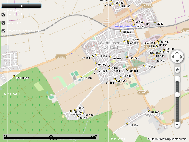
As an active firefighter I of course know about OpenFireMap. And I knew of highway=emergency_access_point way before the Weekly Task caused many more of them appearing in the database. But I always wanted to have something that is not a website, and something where I can customize what is shown.
Using the awesome library of Marble I was able to hack together OSMhyd, a Qt-based application that shows fire hydrants, water tanks and emergency access points. Of course this is far from complete, but maybe it serves someone else as inspiration.
If you are interested a bit more in the technical details and future directions I’ve written a bit more about that in my KDE related blog post.
Discussion
Comment from nfgusedautoparts on 6 October 2014 at 13:36
cool. i’m downloading it now, will give it a whirl. i might be interested in helping supplement the code to support US specific things i’m mapping.
Comment from robkoch86 on 16 October 2014 at 10:41
Hey Dakon,
do you also know OsmHydrant? It tries to ease adding/editing hydrants and water tanks in OpenStreetMap.
Very interesting QT-application. I’ll definitely give it a try!
Best wishes, Robert
Comment from Warin61 on 3 December 2014 at 03:02
Nice. The fire stations around me are logged/tagged. But not the fire hydrants. They have put blue cats eyes on the roads so the fireies can find them. But not mapped in OSM here.
Additional resources .. water sources .. specifically swimming pools, lakes, reservoirs, rivers as well as water tanks get used as emergency water sources. I know the lakes, reservoirs, rivers get used by the water bombing helicopters so it may be useful to have them show up.
The helicopters probably want the power lines to show up as well… particularly when they are high compared to the surroundings.